Sobrescobio, Asturias: municipality guide
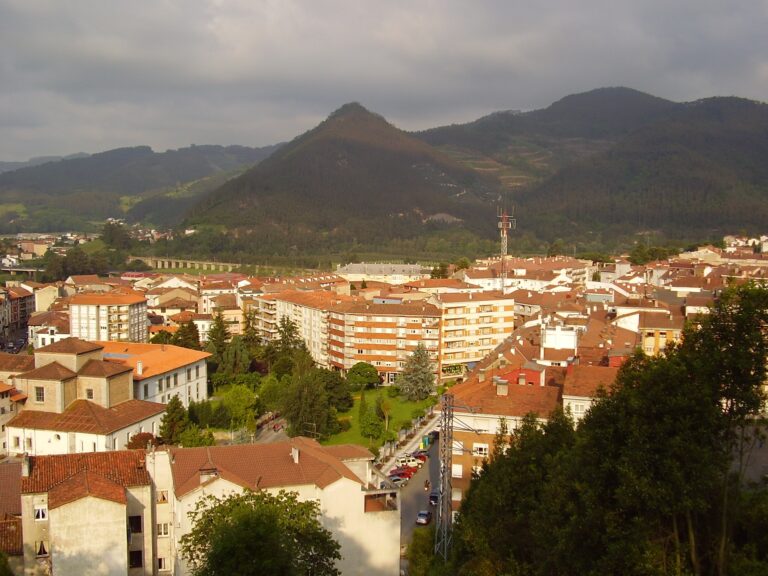
Sobrescobio is a municipality in central Asturias, in the mountains of the Nalón Valley, whose entire territory belongs to the Redes Natural Park and is therefore a Biosphere Reserve. Its capital is Rioseco. With 838 inhabitants and 69.43 km², it is a land of reservoirs, hiking trails and traditional architecture, awarded as Exemplary Village of Asturias in 2009.
What to see in Sobrescobio
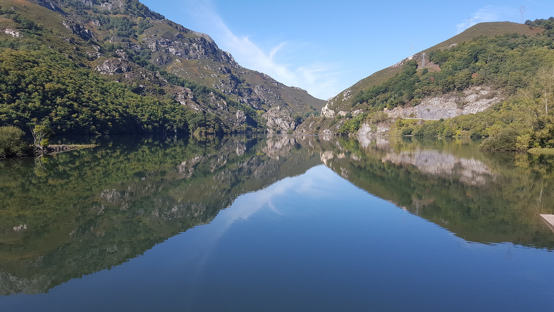
Water is the protagonist: the Rioseco and Tanes reservoirs take advantage of the gorges that the Nalón carves through the limestone, forming a landscape of calm waters among mountains. Between them lies the underground Tanes hydroelectric plant, an engineering work that harnesses the water drop between the two dams.
The Ruta del Alba (Alba Route), which starts in Soto de Agües following the Alba river, is the most famous trail in the municipality, with waterfalls and beautiful beech forests. At the entrance from Laviana, the Villamorey castle, known as the Torrexón and now in ruins, dominates the gorge that gives access to the municipality.
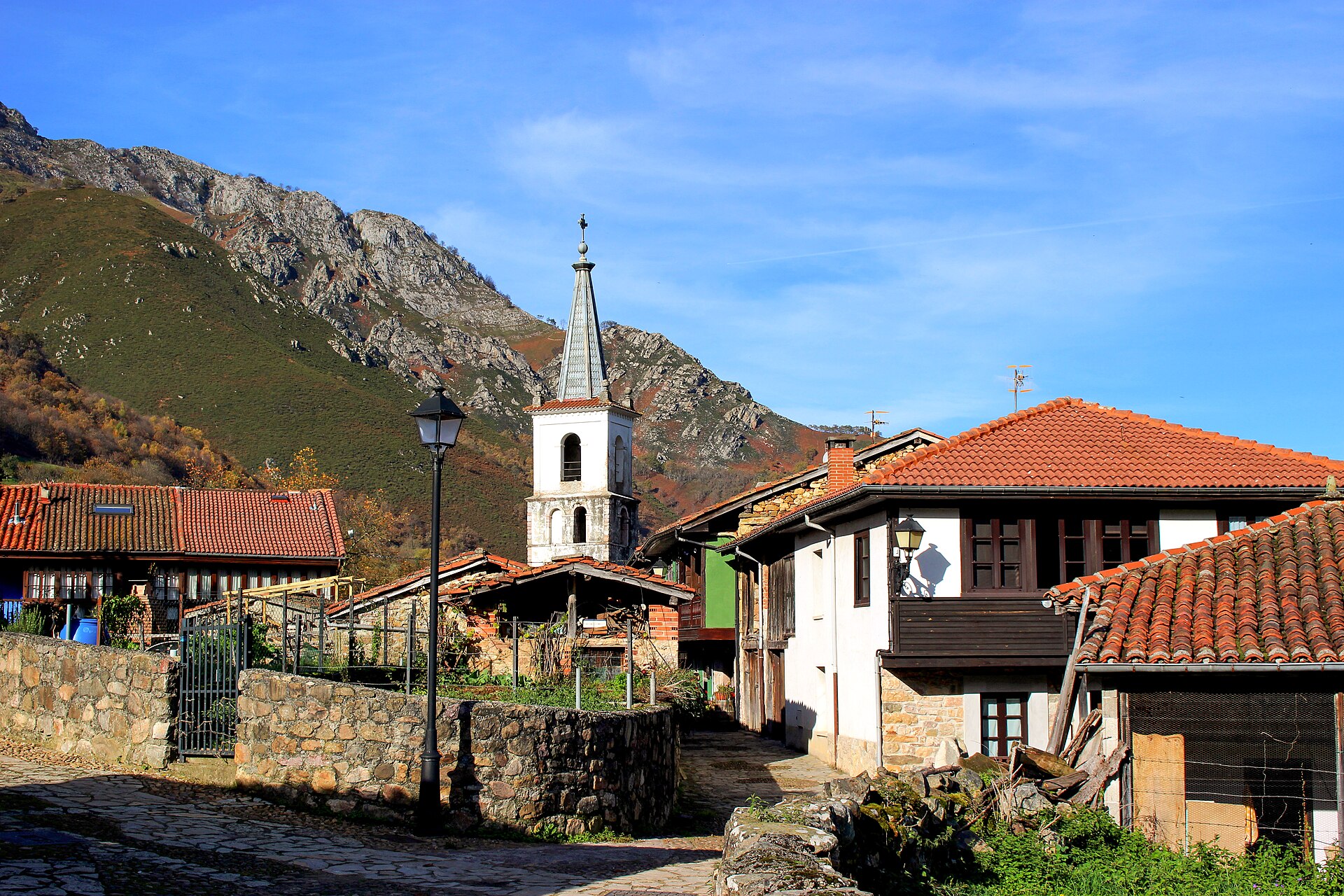
The religious heritage includes the 15th-century church of Santa María de Oviñana and the church of San Andrés in Soto de Agües, from the early 19th century. The highest point of the municipality is Retriñón peak (1,862 m), which lends its name to the viewpoint over the Tanes reservoir. Throughout the municipality you can enjoy traditional architecture: stone houses with wooden balconies, mountain huts, hórreos and paneras, and the Casa del Agua interpretation centre, dedicated to the element that structures the life of the municipality.
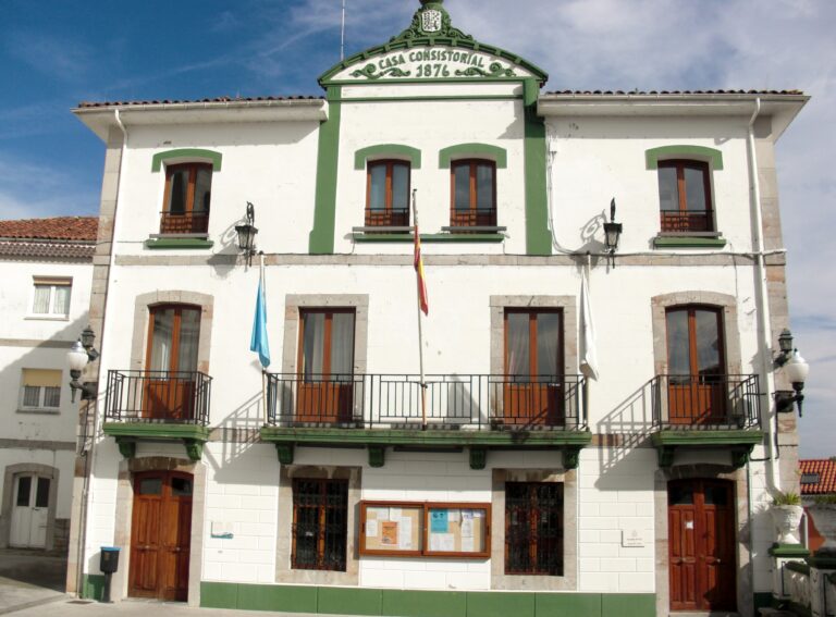
The entire municipality lies within the Redes Natural Park, a UNESCO Biosphere Reserve, which guarantees the conservation of this landscape of water and mountains. The capital, Rioseco (officially Rusecu), has been the seat of the town council since 1929.
Getting there
The AS-17 regional road, which follows the course of the river Nalón, is the backbone of the municipality’s communications, with access from Laviana to the west. A network of local roads links Rioseco with Soto de Agües, Ladines, Villamorey and Campiellos.
Map of the municipality of Sobrescobio: the capital, in gold. Data © OpenStreetMap (ODbL).
Festivals and gastronomy
In August the festivals of San Roque in Villamorey and San Ginés in Rioseco, on the fourth weekend of the month; in September, El Carmen in Soto de Agües, on the first weekend, and the Livestock Fair, on the last weekend; and in October, San Nicolás in Campiellos and El Pilar in Ladines. On the first weekend of October the Pitu de Caleya Gastronomic Days take place, with a singular menu: sopa de curruscos (bread soup), trout with ham, pitu de caleya (free-range chicken), Casín cheese, liqueur, bread and wine.
Municipality facts
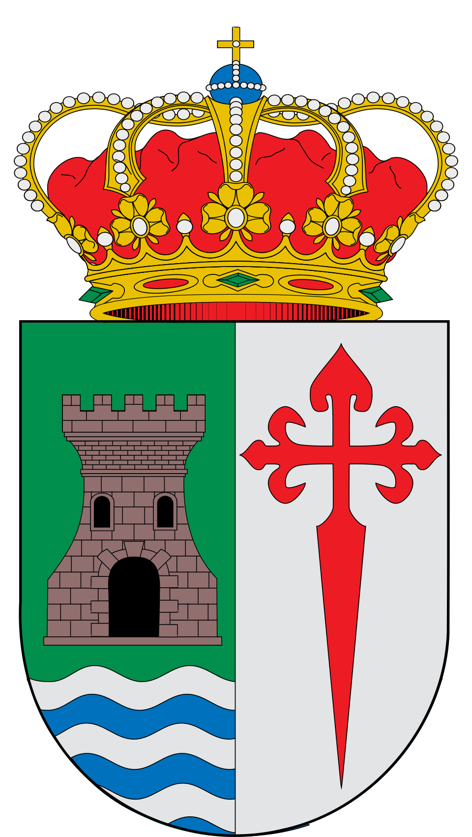
Coat of arms: Wikimedia Commons / SanchoPanzaXXI (CC BY-SA 4.0)
- Capital: Rioseco
- Population: 838 inhabitants (INE 2025)
- Area: 69.43 km²
- Zone: Central
- Demonym: coyán, -a
- Town Hall: C/ La Plaza, 1, 33993 Rioseco. Tel. +34 985 60 90 05
Neighbouring municipalities
Useful links
Want to correct or expand this information? Contact us.
See it on the interactive map: The 78 municipalities of Asturias