Muros de Nalón, Asturias: municipality guide
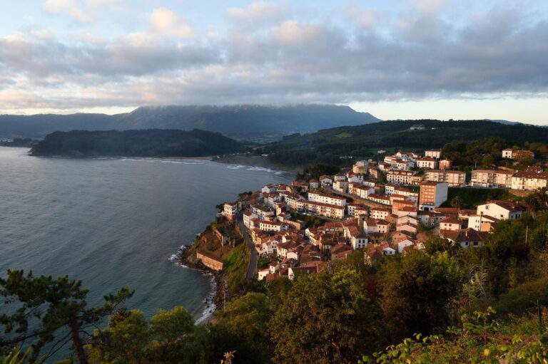
Muros de Nalón is a coastal municipality in central Asturias, at the mouth of the river Nalón. With 1,955 inhabitants and 8.09 km², it is the second smallest municipality in Asturias. Its capital is Muros de Nalón. Until 1916 it was simply called Muros; until 1847 it belonged to the municipality of Pravia.
Things to see in Muros de Nalón
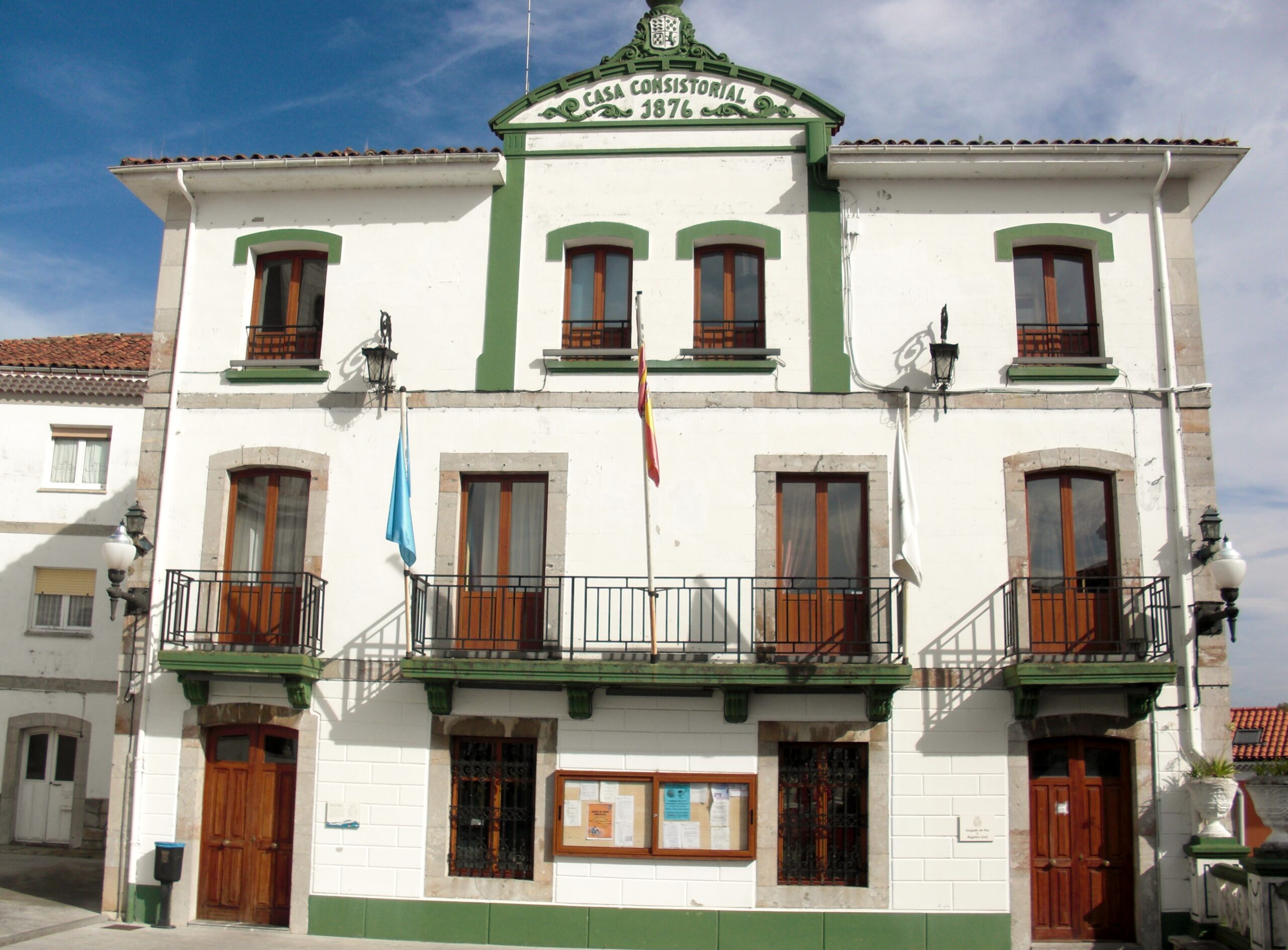
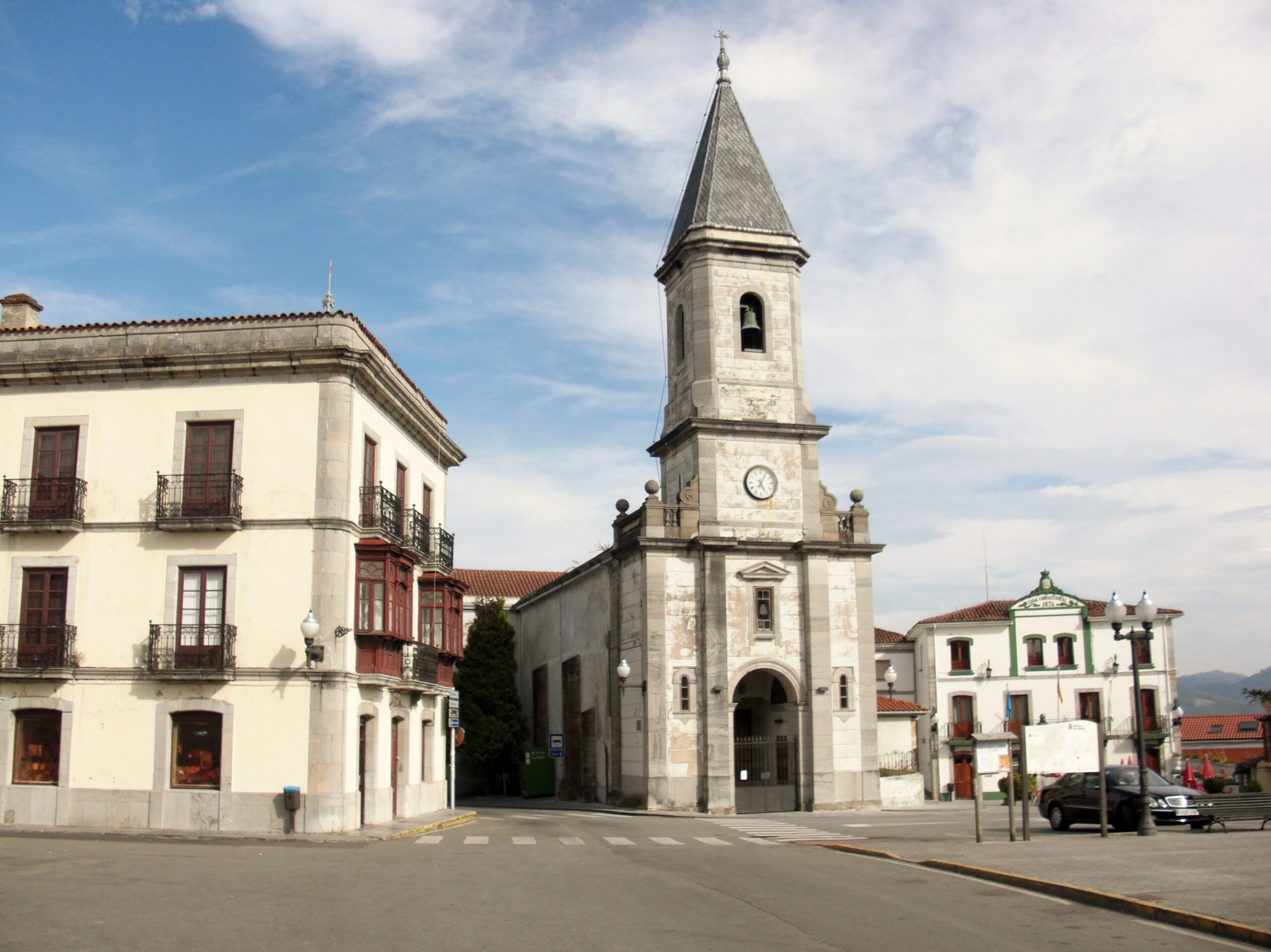
The town of Muros is built around the Plaza Marqués de Muros, where the church of Santa María —with a single nave, a polygonal apse and a slender tower completed in 1883 with money sent by emigrants in America— and the town hall, remodelled in 1878 with the bust of the first Marquis of Muros on its facade, stand side by side. The palace of Valdecarzana y Vallehermoso (15th century) is the most important stately monument, with its square tower surrounded by walls and a 16th-century plateresque portal.
At the mouth of the Nalón lies San Esteban de Pravia, which in the mid-20th century was an important seaport for exporting coal from the mining basins: it keeps the old cranes from the first half of the 20th century, the 1930 coal bunkers, the old 1904 coal loader, the Junta de Obras del Puerto (1929) and the Casa de Aduanas Marítimas (1940). From the Mirador del Espíritu Santo, with its nearby hermitage, you get a wide panorama of the Asturian coast.
The Muros artistic colony was born in the summer of 1884, when the painter Tomás García Sampedro invited his master Casto Plasencia to his estate at La Pumariega: the master fell in love with the light of these landscapes and returned in the following years accompanied by important painters, with the project of creating a landscape school like the one at Barbizon. The municipality is made up of two parishes: Muros de Nalón and San Esteban.
Camino de Santiago: the Camino del Norte, an official Jacobean route declared a UNESCO World Heritage Site, crosses the municipality in the Avilés–Muros de Nalón stage, passing by the Castillo de San Martín on the banks of the Nalón, and continues towards Soto de Luiña.
How to get there
The N-632 (Ribadesella–Canero) is the municipality’s main road; the town is 54 kilometres from Oviedo. Local roads connect the town of Muros with San Esteban de Pravia and the villages of Era, Villar and Reborio.
Festivals and gastronomy
The feast of San Antonio is celebrated on the Sunday closest to 13 June with a procession and a livestock fair in the Campo de Palacio, showcasing advances in farm machinery. The Virgen del Carmen, on 16 July, is the main festival of San Esteban de Pravia: the virgin is carried in procession along the estuary and the Salve Marinera is sung. The Festival gastronómico del Pixín takes place in Holy Week. On the table, Cantabrian fish —the pixín (monkfish) above all— and seafood are the protagonists, alongside the classic Asturian dishes.
Municipality facts
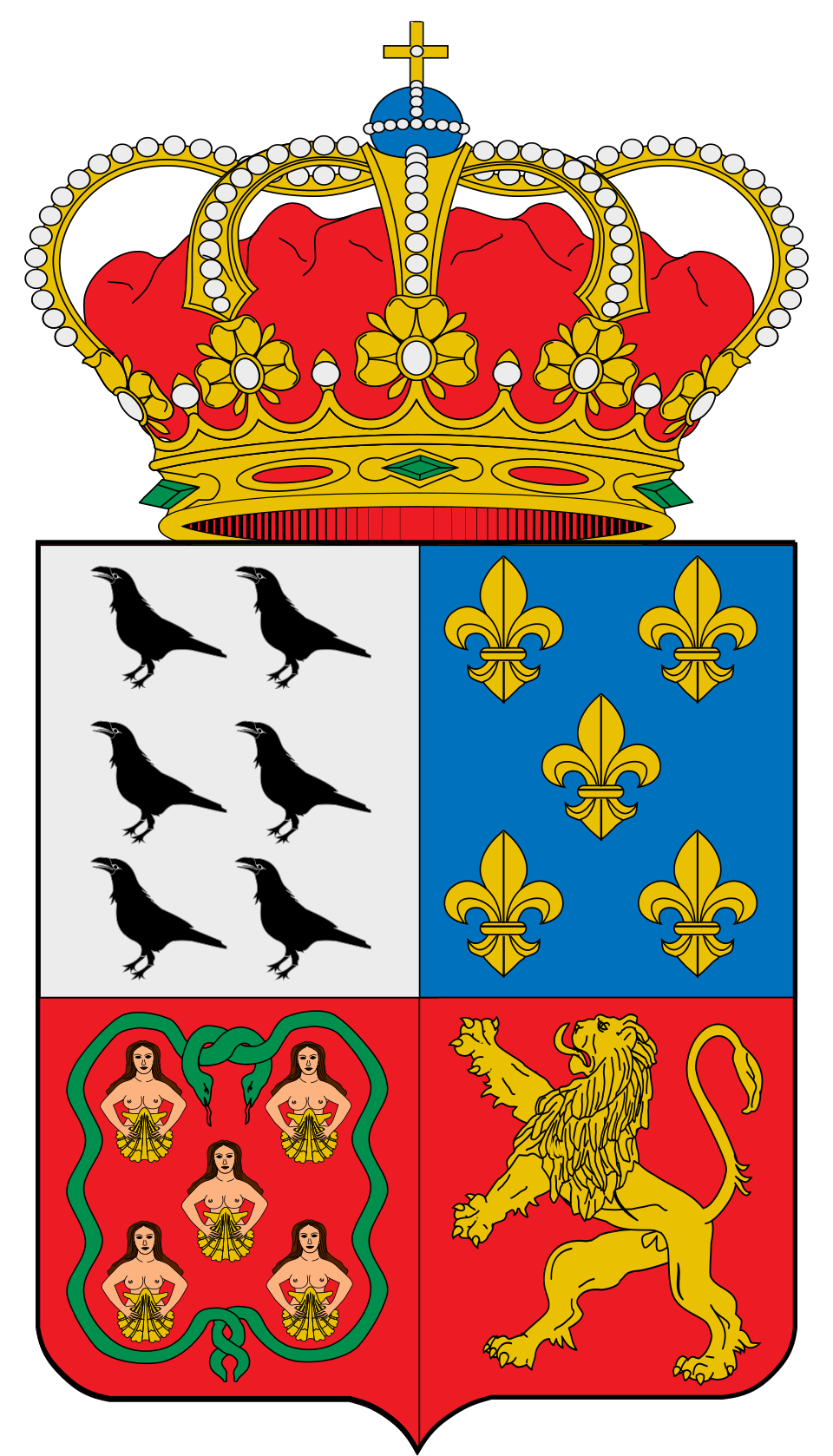
Coat of arms: Wikimedia Commons (free license)
- Capital: Muros de Nalón
- Population: 1,955 inhabitants (INE 2025)
- Area: 8.09 km²
- Zone: Central
- Demonym: murense
- Town Hall: Plaza Marqués de Muros, s/n, 33138 Muros de Nalón. Tel. +34 985 58 30 30
Neighbouring municipalities
Useful links
Want to correct or expand this information? Contact us.
See it on the interactive map: The 78 municipalities of Asturias