Ribera de Arriba, Asturias: municipality guide
Ribera de Arriba is a small municipality in central Asturias —1,852 inhabitants on 21.98 km²— whose name says it all: it is the bank of the river Nalón, where the river Caudal delivers its waters to the great Asturian river. Its capital, Soto de Ribera, is only 7 km from Oviedo, and the Camino del Salvador, the official route linking León with Oviedo cathedral, passes through the municipality.
Things to see in Ribera de Arriba
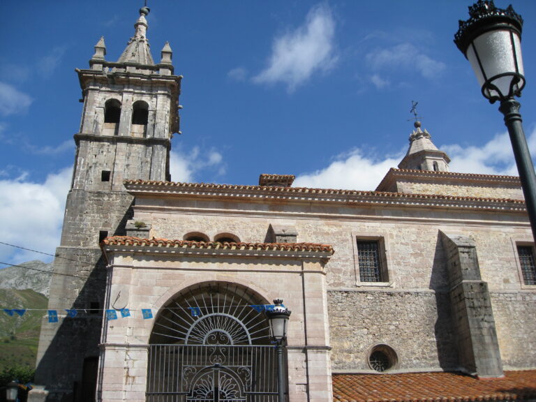
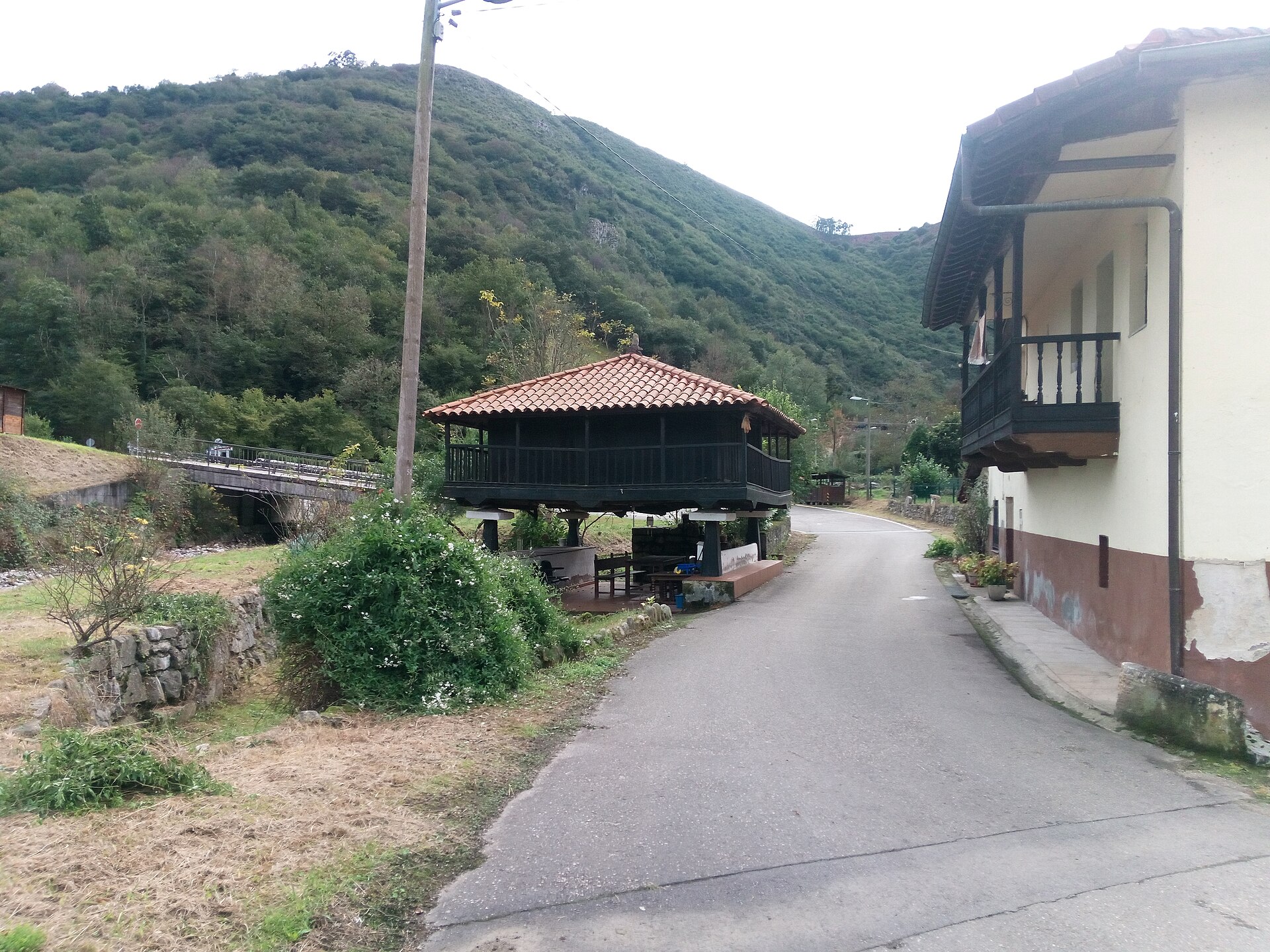
Near the capital stands Güeñu/Bueño, which preserves a group of hórreos (Asturian granaries) in very good condition: one of the most important ethnographic ensembles in the Principality and home to the Hórreo Interpretation Centre. The religious heritage is led by the church of San Martín de Pereda, a 12th-century Romanesque church with a three-archivolt doorway, together with the chapel of San Juan de Mata in Bueño (18th century) and the church of San Nicolás in Tellego, of medieval origin.
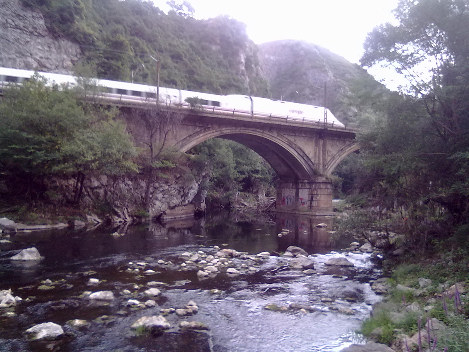
The Nalón carves a wide alluvial plain between Vegalencia and Fuso, and near Soto de Ribera it receives the Caudal: the meeting of the two rivers of the central mining basins. Over the Caudal stands the stone bridge financed by Brigadier Cañedo, and in the parish of Palomar the river Barrea forms the Alfilorios reservoir, whose dam stands on municipal land and supplies water to Oviedo. The Camino del Salvador crosses Ribera de Arriba on its final stretch towards Oviedo, on the stage between Mieres and Olloniego.
The municipality’s industrial footprint is set by the Soto de Ribera thermal power station (1962), which transformed local life, and the Arias butter factory in Vegalencia, one of the oldest in the Asturian dairy sector.
Getting there
It is one of the best-connected municipalities in Asturias: the A-66 motorway and the N-630 (km 34-36) cross it from north to south. By rail, Soto de Rey station has commuter services (lines C-1 and C-2) and regional trains on the León–Gijón line. Soto de Ribera is 7 km from Oviedo.
Map of the municipality of Ribera de Arriba: the capital, in gold. Data © OpenStreetMap (ODbL).
Festivals and gastronomy
The festive year begins in February with San Juan de Mata in Bueño and continues on the first Sunday after Easter with the Santo Ángel in La Mortera and Llavareros. In May comes San Nicolás in Tellego; in June, San Antonio in Sardín and Nuestra Señora de la Luz in Soto del Rey; in July, El Carmen in Soto de Ribera and Santiago Apóstol in Ferreros; and in December, Santa Lucía in Soto de Ribera. On 8 September, the Llosalín recreational area hosts the fiesta del deporte (sports festival).
Municipality facts
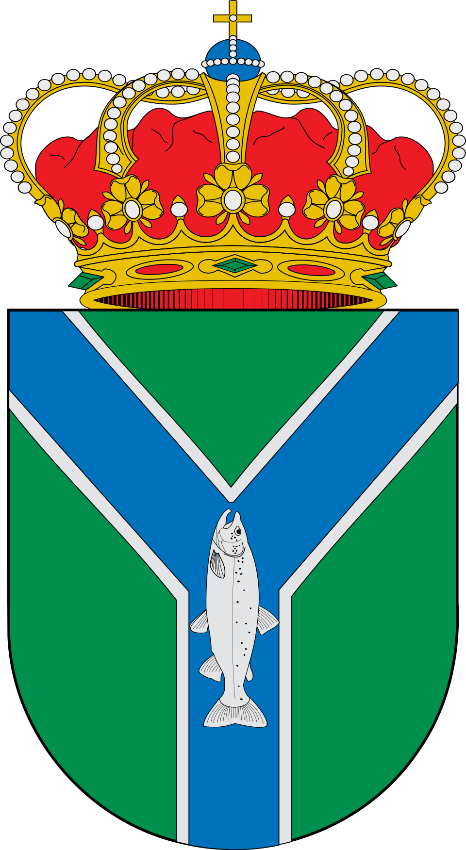
Coat of arms: Wikimedia Commons / SanchoPanzaXXI (CC BY-SA 4.0)
- Capital: Soto de Ribera
- Population: 1,852 inhabitants (INE 2025)
- Area: 21.98 km²
- Zone: Central
- Town Hall: Plaza de la Constitución, s/n, 33172 Soto de Ribera. Tel. +34 985 79 60 09
Neighbouring municipalities
Useful links
Want to correct or expand this information? Contact us.
See it on the interactive map: The 78 municipalities of Asturias