Santo Adriano, Asturias: municipality guide
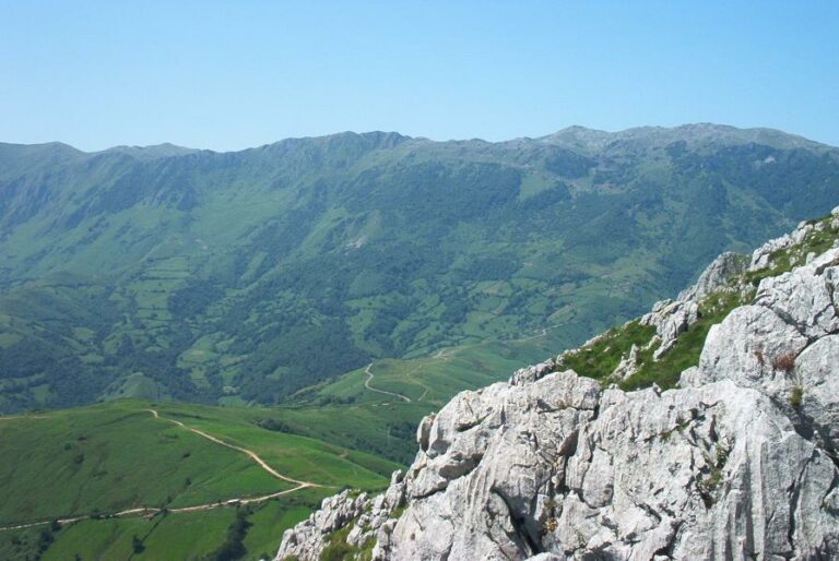
Santo Adriano is a municipality in central Asturias, in the valley of the river Trubia, between the foothills of the Aramo and Oral ranges. Its capital is Villanueva. With 281 inhabitants and 22.60 km², it is one of the least populated municipalities in the Principality, but it holds two first-class jewels: the pre-Romanesque church of Tuñón and the Xanas gorge.
What to see in Santo Adriano
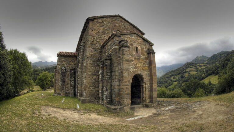
The church of Santo Adriano de Tuñón is the municipality’s monumental work: pre-Romanesque, traditionally founded in 891 under Alfonso III the Great, declared a cultural heritage site and national historic monument since 1931. Its three-nave basilica plan, the tripartite chancel with barrel vault and the apse frescoes —with a frieze of walled towers and the sun and the moon— make it one of the essential Asturian churches.
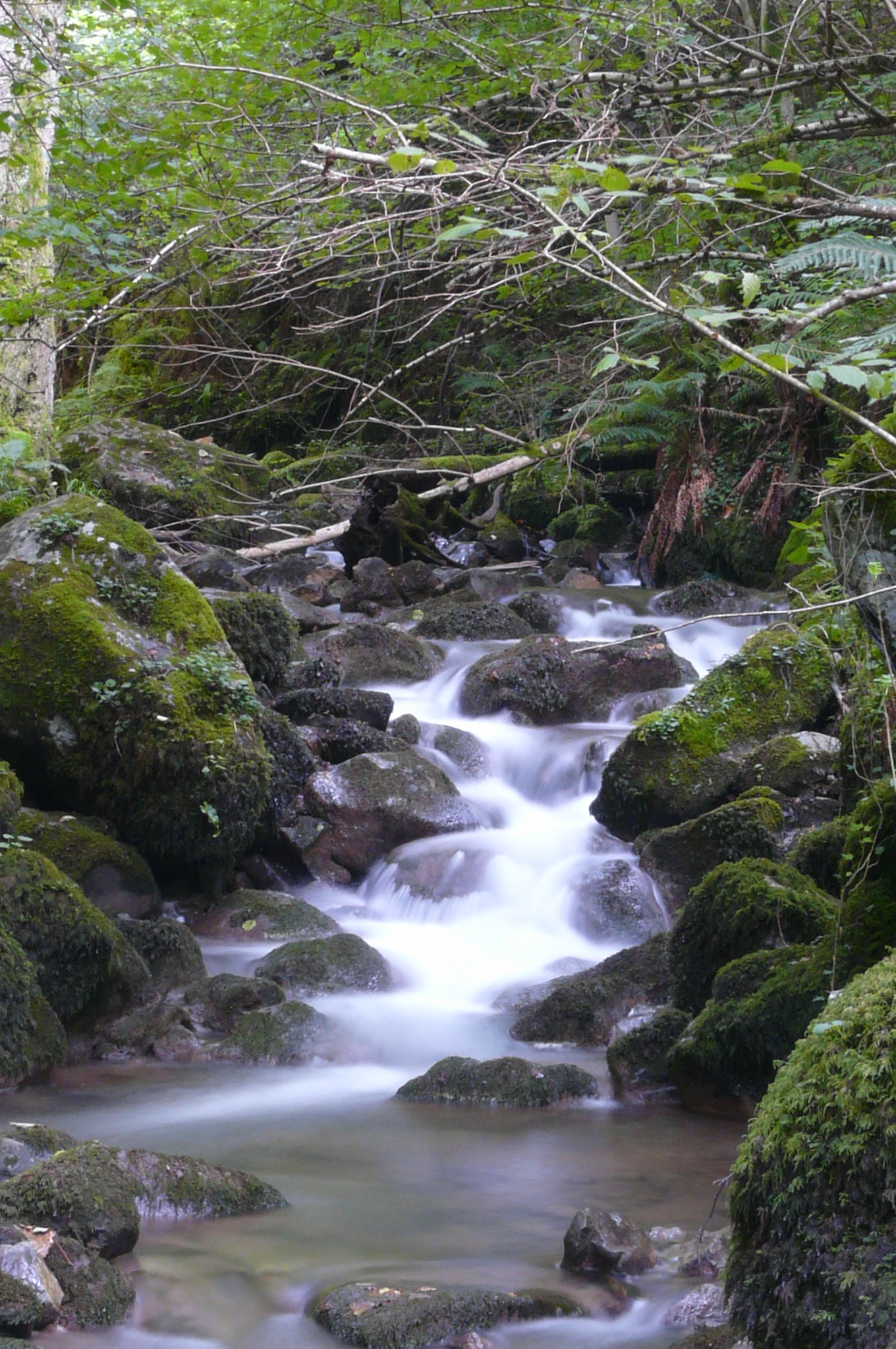
The Xanas gorge (Desfiladero de las Xanas), declared a protected landscape, is a canyon carved by the Xanas stream between limestone walls, crossed by a path hewn into the rock that is one of the most famous hiking routes in Asturias. The municipality is also a gateway to the Senda del Oso (Bear’s Trail): the first section of this Camino Natural and greenway, between Tuñón and Proaza, opened in 1995 and runs beside the gorge, on the platform of the old Trubia valley mining railway. For prehistory lovers, the Fornu or Conde cave holds Middle and Upper Palaeolithic remains, and the Santo Adriano rock shelter preserves cave paintings of deer and bovids.
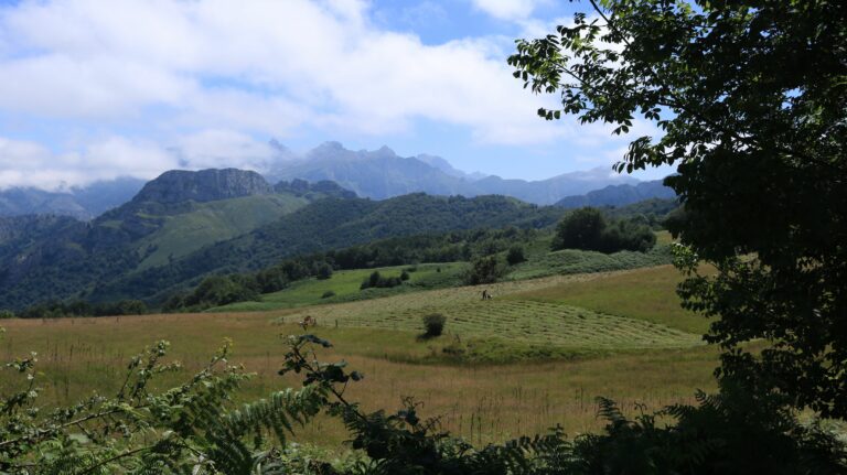
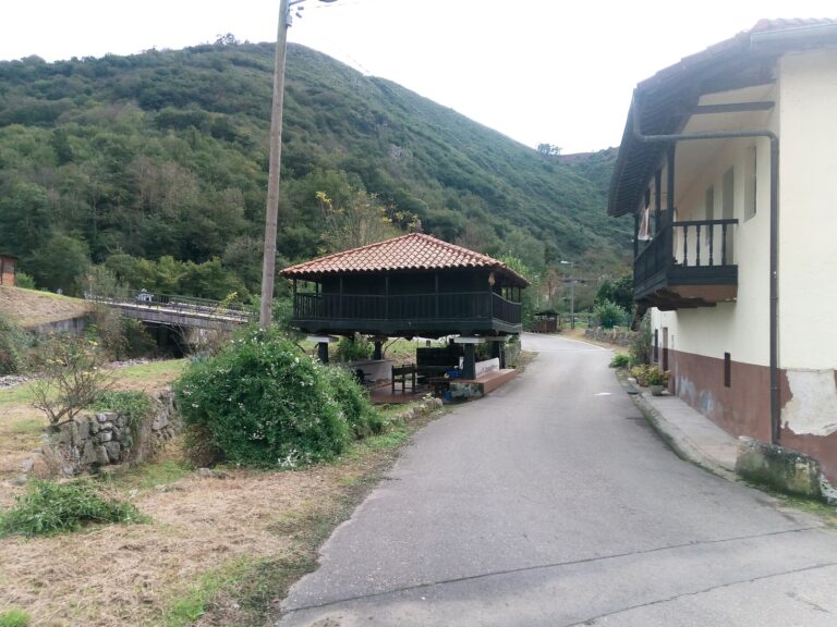
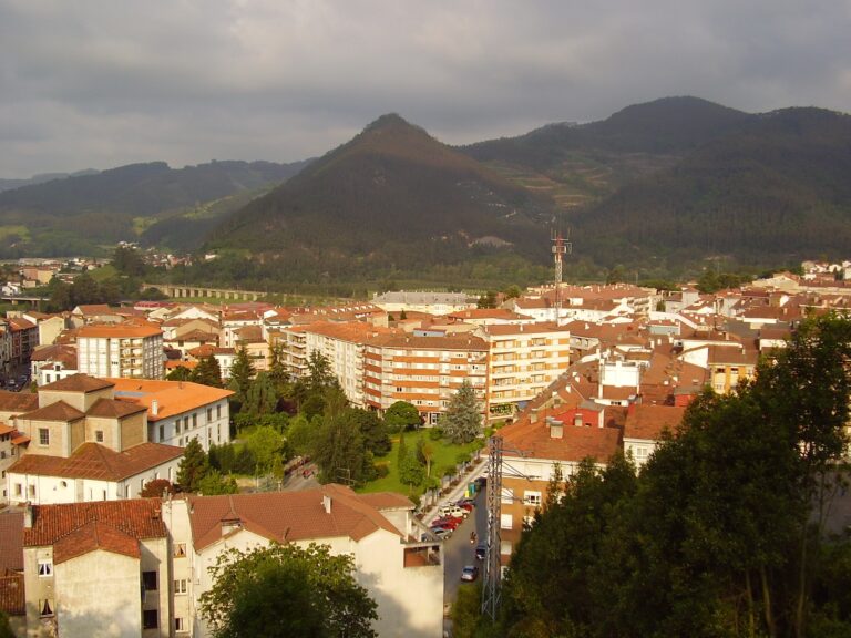
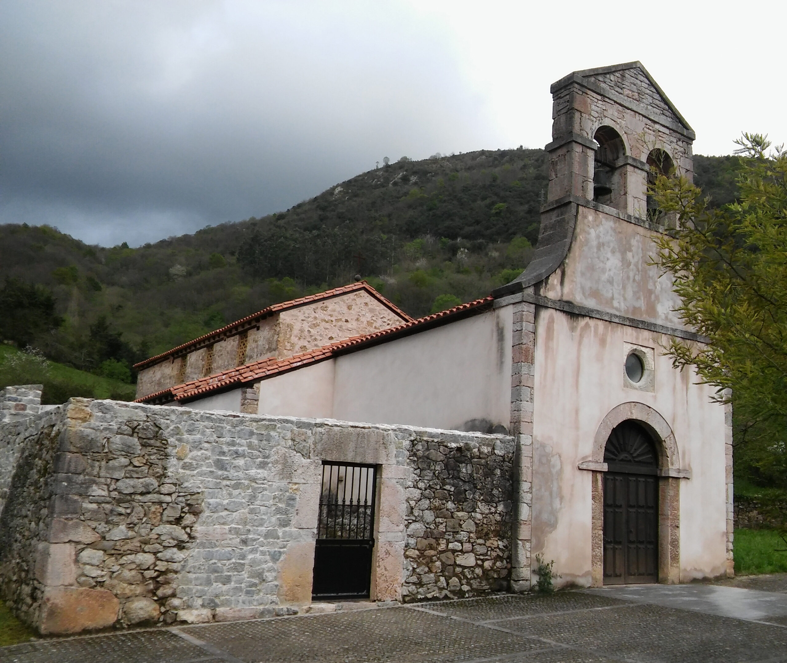
In Villanueva, the capital, a medieval single-arch bridge joining the two districts of the town is preserved, along with the parish church of San Román, of Romanesque origin. The landscape combines mixed chestnut and oak woodlands with the fertile Trubia floodplains, where the population concentrates.
The Xanas gorge, a protected landscape, and the nearby Senda del Oso make Santo Adriano one of the great hiking destinations of central Asturias.
Getting there
The municipality revolves around the AS-228 regional road of the Trubia valley, which passes through Tuñón —the start of the Senda del Oso— towards Proaza and connects with Oviedo.
Map of the municipality of Santo Adriano: the capital, in gold. Data © OpenStreetMap (ODbL).
Festivals and gastronomy
The most important festivals are those of San Juan in Castañedo del Monte (24 June), the biggest in the municipality, lasting three days with mass, procession, distribution of the bollo (festival bread) and open-air dancing. The calendar is completed by Los Mártires in Tuñón (20 January), San Antonio in Dosango (13 June), El Carmen in Villanueva (16 July) and San Román in Villanueva (9 August).
Municipality facts
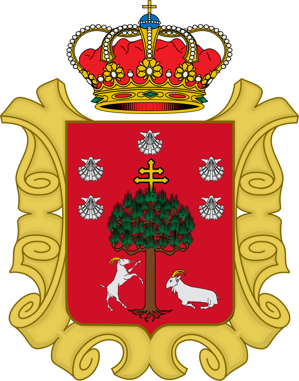
Coat of arms: Wikimedia Commons / Manuelfb55 (CC BY-SA 4.0)
- Capital: Villanueva
- Population: 281 inhabitants (INE 2025)
- Area: 22.60 km²
- Zone: Central
- Demonym: santadrín, -a
- Town Hall: Plaza de Ángel Fernández, s/n, 33115 Villanueva. Tel. +34 985 76 10 61
Neighbouring municipalities
Useful links
Want to correct or expand this information? Contact us.
See it on the interactive map: The 78 municipalities of Asturias