Quirós, Asturias: municipality guide
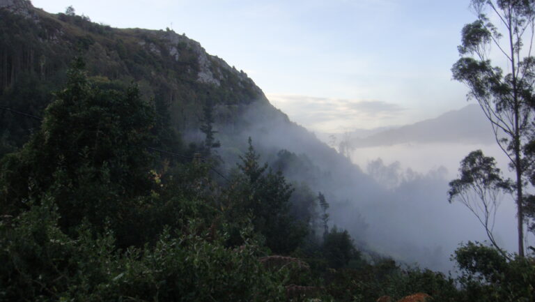
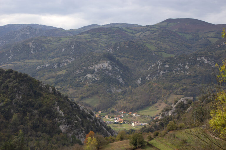
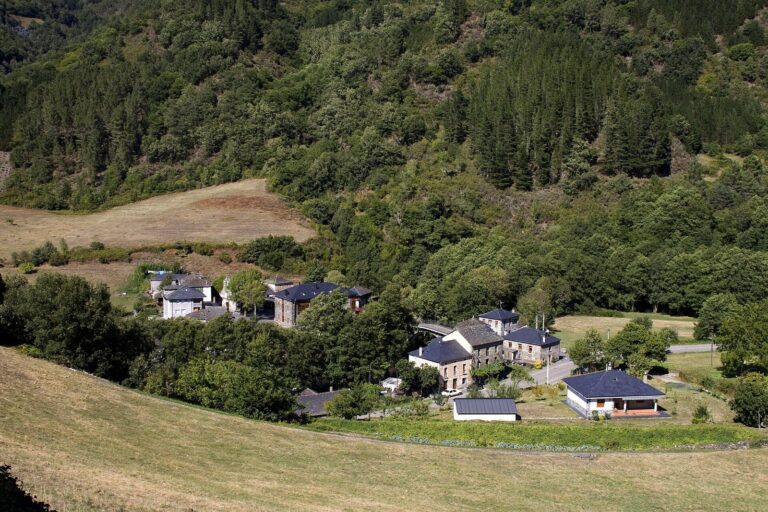
Quirós is a municipality in central Asturias with 1,142 inhabitants on 208.79 km². Its capital is Bárzana, in the centre of a very mountainous valley —40% of the territory rises above 1,200 metres— that forms an essential part of the Las Ubiñas-La Mesa Natural Park: a historic frontier and crossing point towards the Meseta, a land of thousand-year-old yews, bears and high-altitude pilgrimage festivals.
Things to see in Quirós
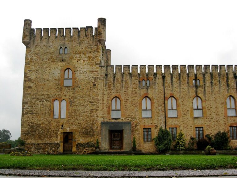
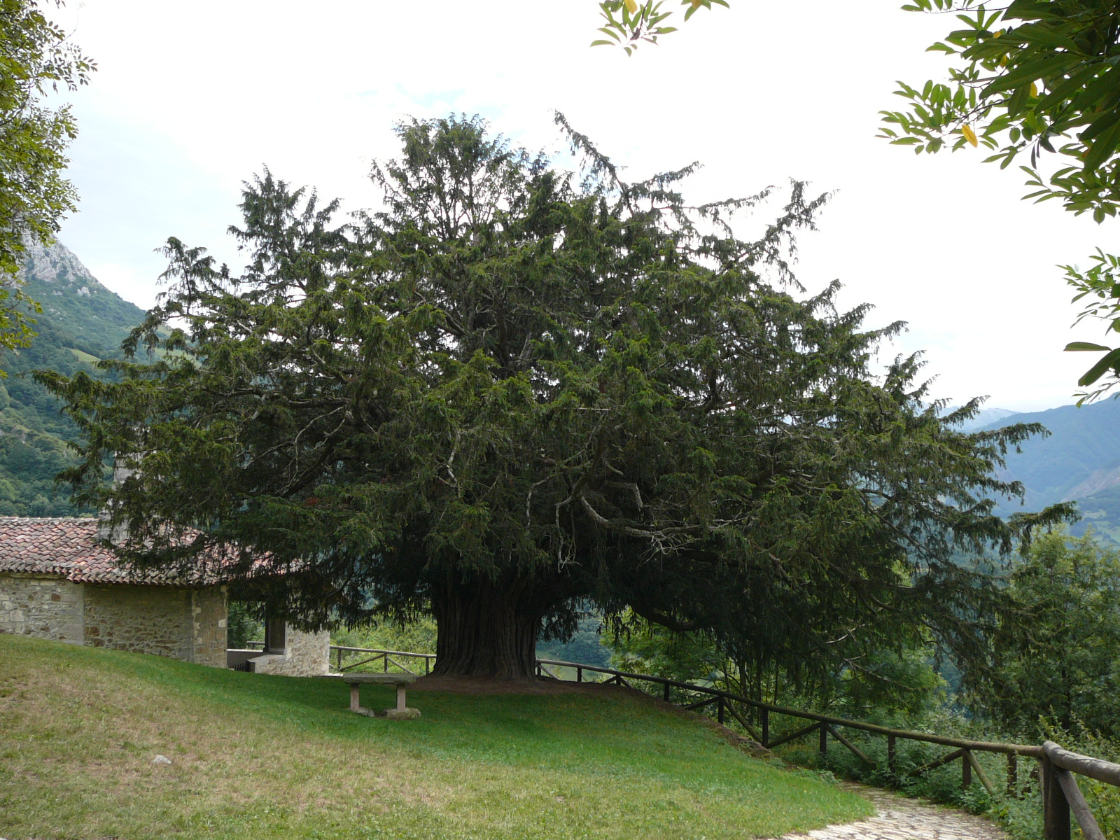
The municipality’s natural symbol is the thousand-year-old yew of Bermiego, one of the oldest and most monumental yews in Asturias, in a hamlet with a large concentration of hórreos (raised granaries). Very close by, the peña de Alba (1,200 m) holds the Virgen de Alba sanctuary, with views over much of the municipality, and the Castillo de Alba, a medieval fortress now in ruins. The valley ends —legally and geographically— at the Foces de Valdemurio, a narrow gorge between limestone walls that is the gateway to Proaza, with its reservoir.
Quirós’ mountains are crowned by the Ubiña massif: the Fontán (2,417 m) and Peña Rueda (2,155 m), a “majestic natural pyramid”. To the west, the Sobia massif and the Gorrión range are the natural barrier with Teverga. The Senda del Oso (Bear Trail), on the tracks of the old mining railway, reaches Santa Marina, in the heart of the municipality, and L.lano is a benchmark climbing school.
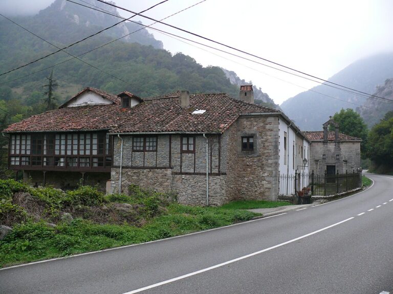
The human footprint goes back millennia: Neolithic burial mounds and dolmens on the Alto de la Cobertoria and the Prau Llagüezos, the Romanesque church of San Pedro de Arrojo with 16th-century mural paintings, and the Ethnographic Museum in San Salvador, which preserves the area’s traditional customs and ways of life.
Getting there
Quirós is reached via the regional roads AS-229 (from Trubia, through Santo Adriano and Proaza) and AS-230 (Pola de Lena–Bárzana de Quirós, over the Cobertoria pass). The old aspiration of direct access to the Meseta materialised in the Trobaniello track, inadvisable on rainy, snowy or foggy days. From the capital, Bárzana, local roads branch off towards the municipality’s two valleys, the Ricabo and the Lindes.
Map of the municipality of Quirós: the capital, in gold. Data © OpenStreetMap (ODbL).
Festivals and gastronomy
The big summer event is the Fiesta del Alba (15 August), at the Virgen de Alba hermitage in the Aramo range: solemn open-air mass, country picnic, horseback ribbon races, traditional Asturian sports, pilgrimage and evening dance, with pilgrims from the neighbouring municipalities —Lena, Riosa, Morcín, Proaza— camping on the meadows. The Fiesta del Corderu, of Tourist Interest, is held at the Prau Llagüezos. At the pilgrimage table, spelt bread —with its show and the awarding of the “Escanda de oro”— and gochu a la estaca (stake-roasted pork) are never missing.
Municipality facts
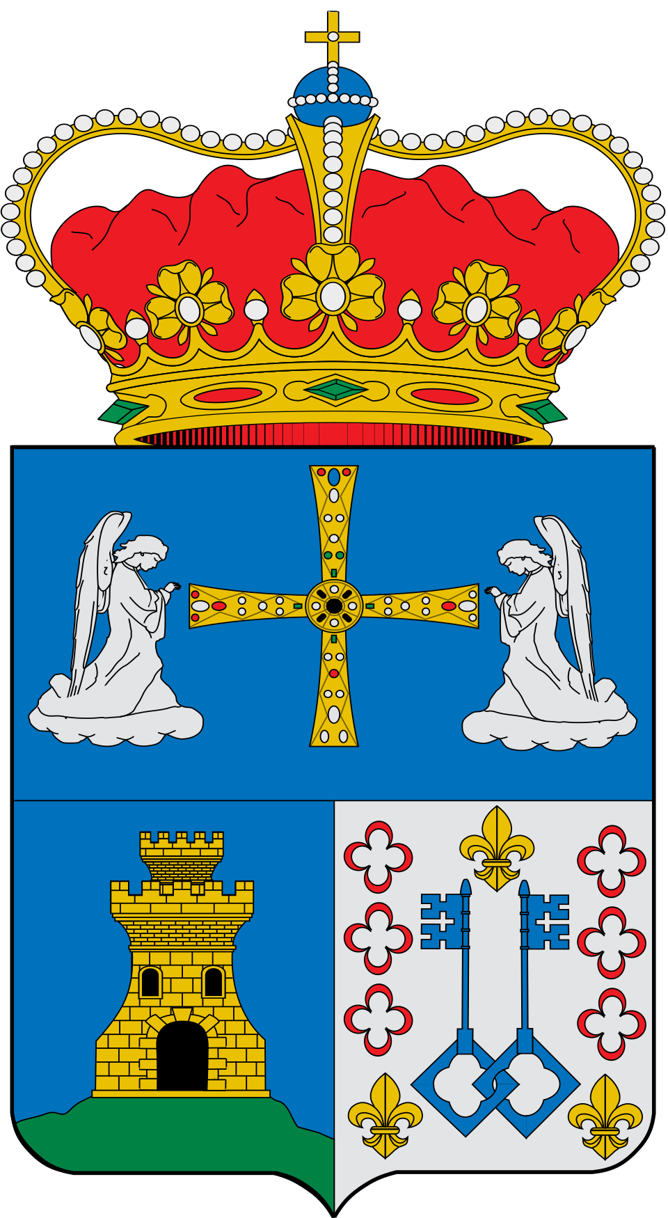
Coat of arms: Wikimedia Commons / SanchoPanzaXXI (CC BY-SA 4.0)
- Capital: Bárzana
- Population: 1.142 inhabitants (INE 2025)
- Area: 208,79 km²
- Zone: Central
- Demonym: quirosano, quirosana
- Town Hall: Carretera General, 1, 33117 Bárzana. Tel. +34 985 76 81 60
Neighbouring municipalities
Useful links
Want to correct or expand this information? Contact us.
See it on the interactive map: The 78 municipalities of Asturias