Teverga, Asturias: municipality guide
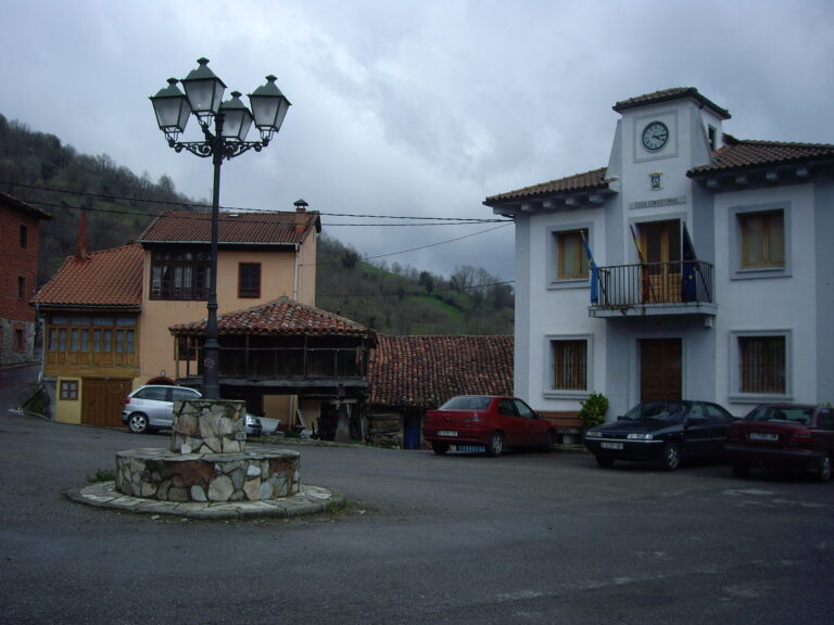
Teverga is a mountain municipality in central Asturias: 1,495 inhabitants on 168.86 km². Its capital is La Plaza. Wedged between the Cantabrian Mountains and the Ventana pass, which connects it with León, it is a land of brañas (high mountain pastures) with teitos (thatched huts), of the Senda del Oso (Bear Trail) and of the Collegiate Church of San Pedro, one of the jewels of Asturian Romanesque.
What to see in Teverga
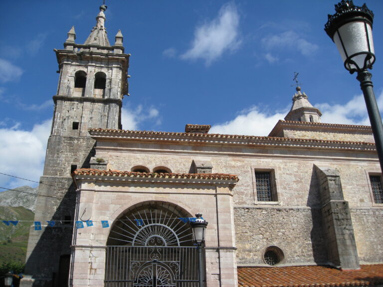
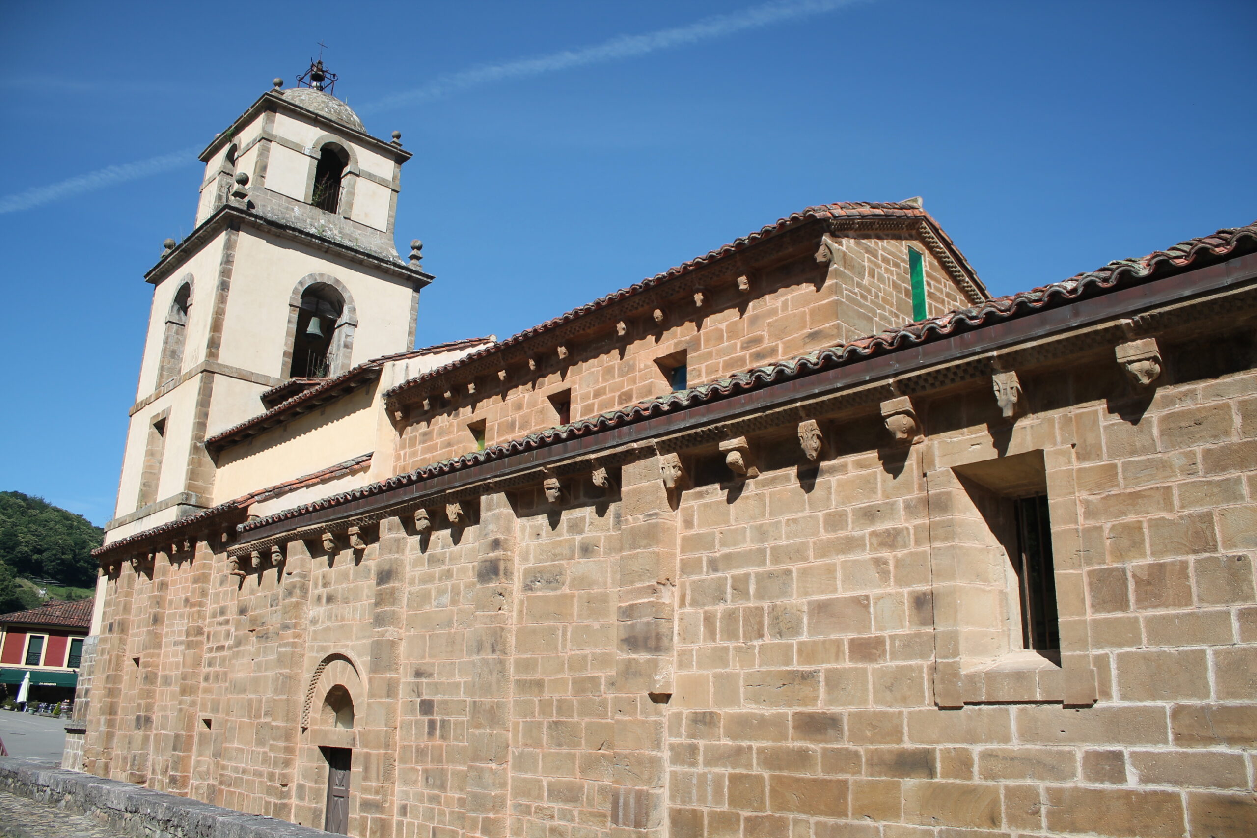
The Collegiate Church of San Pedro, predating 1096, is one of the most important Romanesque churches in Asturias: its apse and doorway survive from that period, and inside it keeps a remarkable ensemble of medieval art. Nearby, the church of Santa María de Villanueva, from the 11th century, and Alesga Castle complete the valley’s historic heritage.
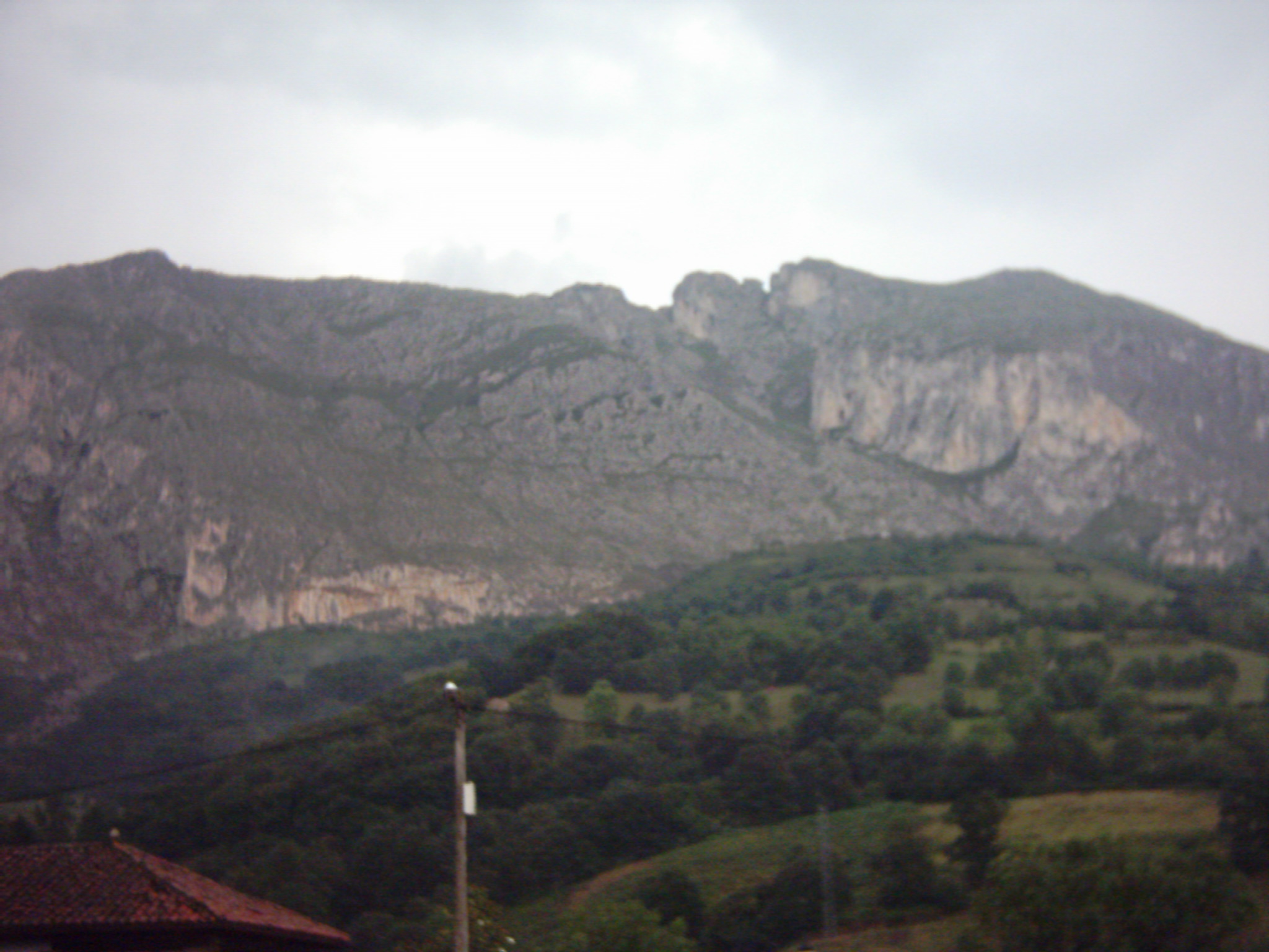
Cueva Huerta, declared a natural monument in 2002, hides nearly 20 kilometres of galleries, and the Parque de la Prehistoria (Prehistory Park), next to San Salvador de Alesga, recreates the art and life of the Palaeolithic caves. Peña Sobia, a limestone massif with vertical walls, dominates the municipality’s landscape and is a benchmark for climbing.
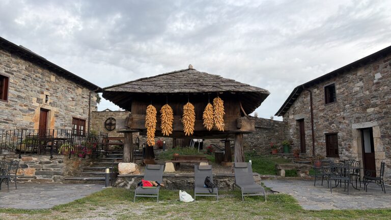
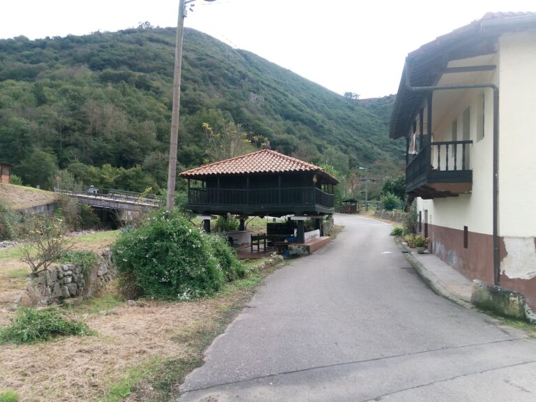
The Senda del Oso (Bear Trail), 36 kilometres from Entrago, is the most famous greenway in Asturias and runs through gorges and riverside woods. Up in the heights, the brañas of Navariegas, Tuiza and Rebellón keep the teitos, the thatched huts of the vaqueiros (nomadic herders), and the Abrigos del Fresnedo shelters preserve cave paintings.
The Camín Real de la Mesa, an ancient Roman road today recovered as a long-distance trail (GR 101), crosses the municipality through the Ventana pass: it is a historic route of the first order, not an official Camino de Santiago.
Getting there
It is reached by mountain road through the Ventana pass, which links Teverga with San Emiliano (León), or from Proaza and the Trubia valley. The Senda del Oso starts at Entrago, a few kilometres from the capital.
Festivals and gastronomy
The main festivals are those of Santiago, on 25 July, in San Martín. The Romería de Nuestra Señora del Cebrano, on 15 August in Carrea, is declared a Festival of Regional Tourist Interest, and the Cueiro pilgrimage, in early September in Taja, brings together the whole valley. The calendar includes the El Rosario and La Feriona fairs and a gastronomic festival in November. At the table: pote de berzas (cabbage and bean stew), picadillo, callos (tripe), arroz con leche (rice pudding), borrachinos and spelt bread.
Municipality data
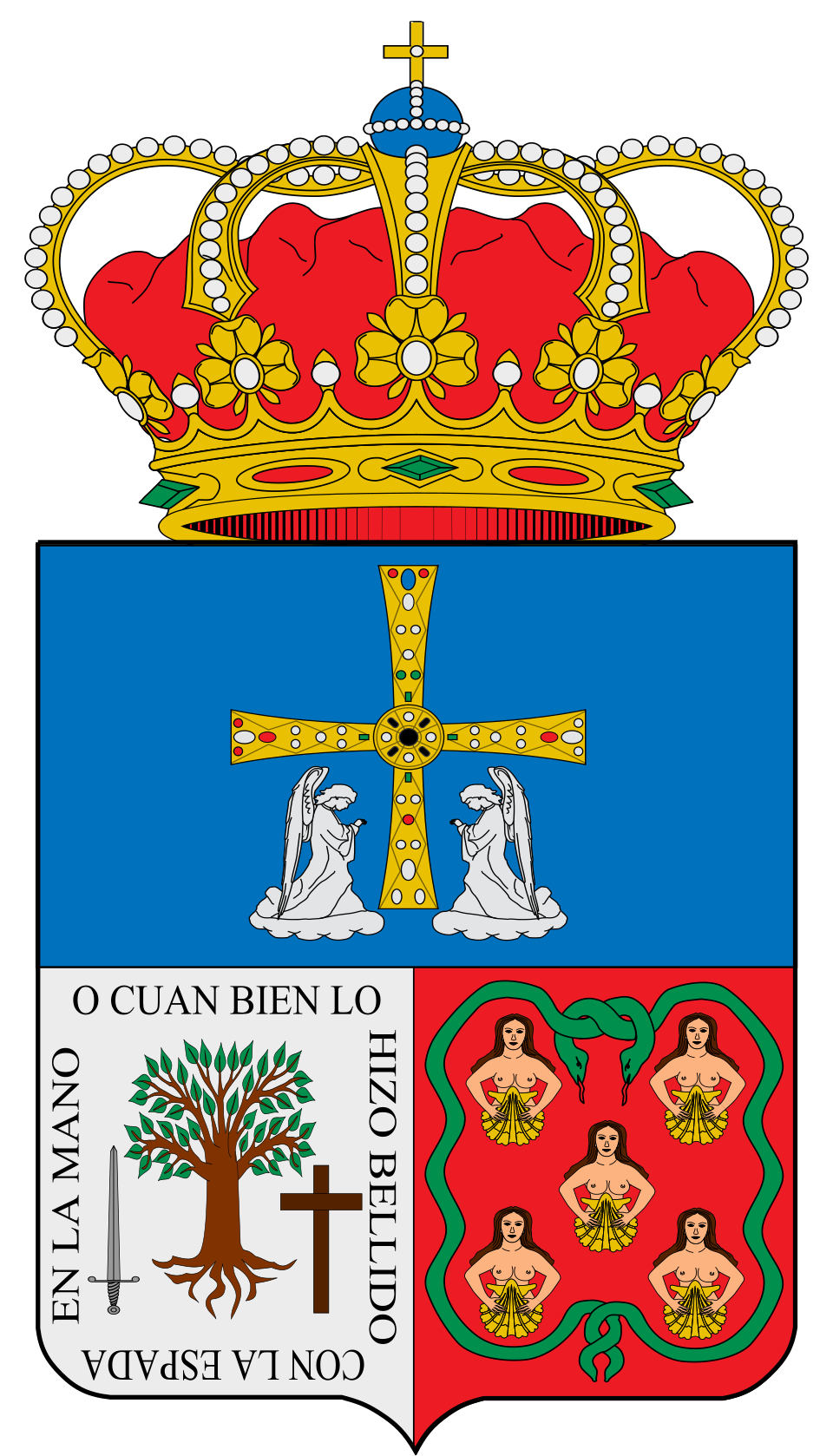
Coat of arms: Wikimedia Commons (SanchoPanzaXXI, CC BY-SA 4.0)
- Capital: La Plaza
- Population: 1,495 inhabitants (INE 2025)
- Area: 168.86 km²
- Zone: Central
- Demonym: tevergano, -a
- Town Hall: Plaza del General Gonzalo González Martínez, s/n, 33111 San Martín. Tel. +34 985 76 42 02
Neighbouring municipalities
- Belmonte de Miranda
- Grado
- Yernes y Tameza
- Proaza
- Quirós
- Somiedo
- San Emiliano (province of León, Castilla y León)
Useful links
Want to correct or expand this information? Contact us.
See it on the interactive map: The 78 municipalities of Asturias