Cudillero, Asturias: municipality guide
Cudillero is a municipality in western Asturias, in the Avilés comarca, famous for its fishing village of houses hung like an amphitheater above the harbor. Its capital is the town of Cudillero and it has 4,867 inhabitants (INE 2025) over an area of 100.78 km².
What to see in Cudillero
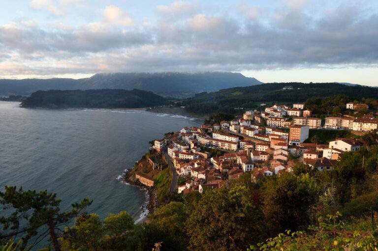
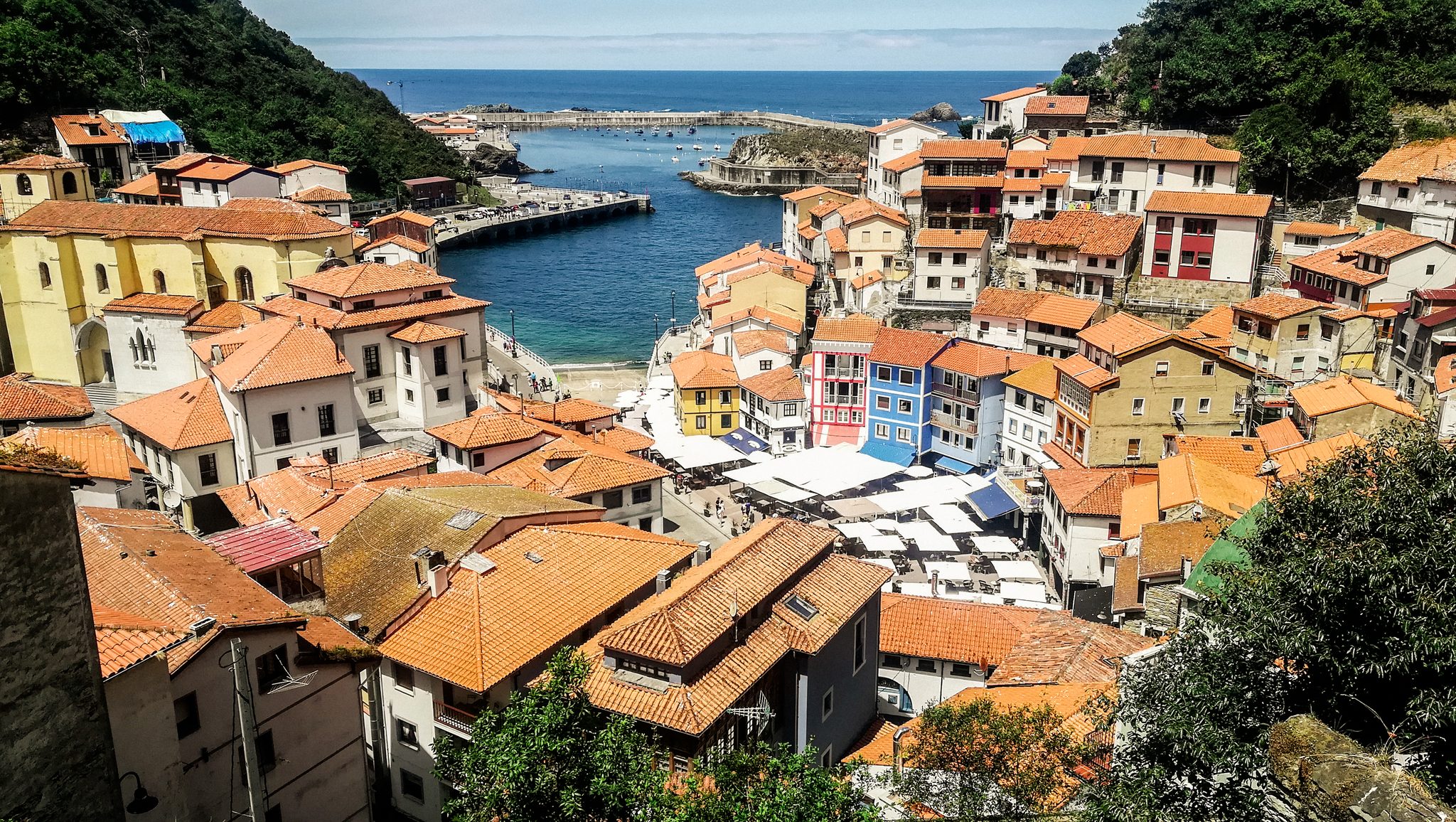
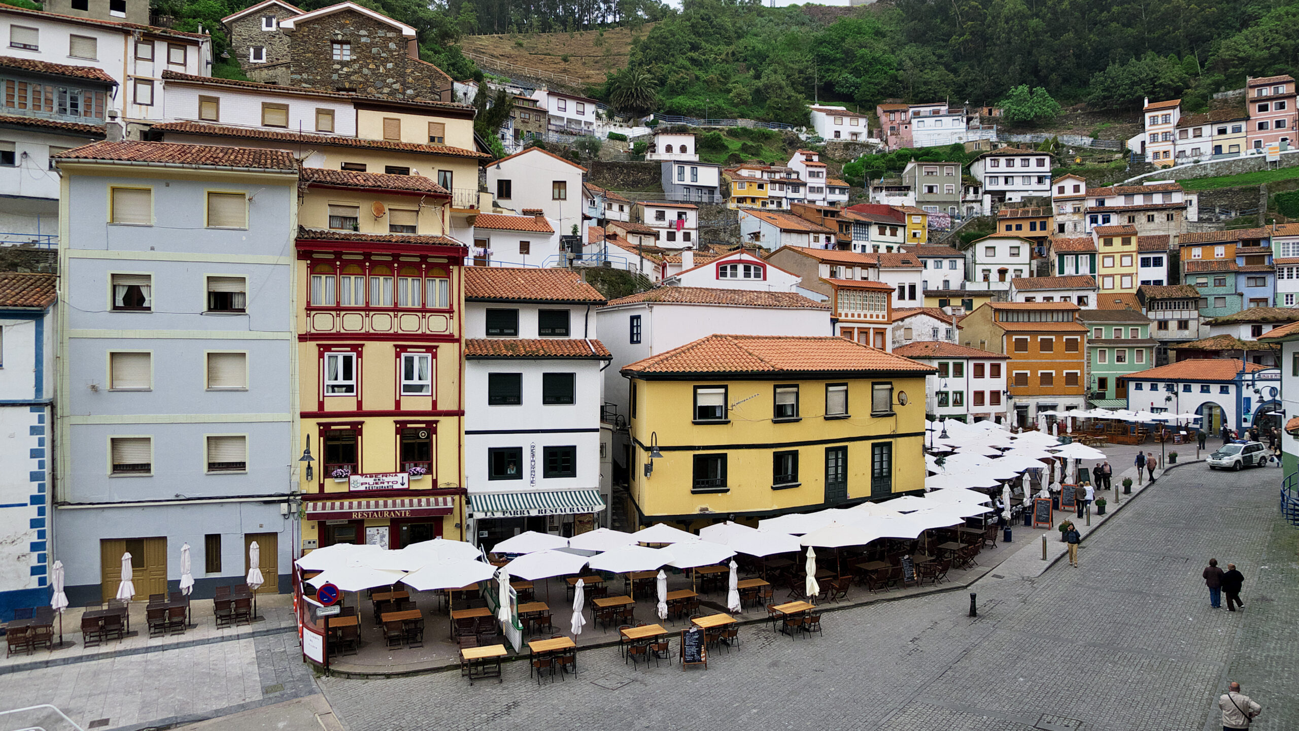
The village of Cudillero. The old town descends like an amphitheater to the harbor, with the colorful houses of La Marina square stepping down the hillside. The port keeps its fishing activity and a unique seafaring atmosphere in Asturias. Since 2021, the village has been a member of the Los Pueblos Más Bonitos de España (Spain’s Most Beautiful Villages) network.
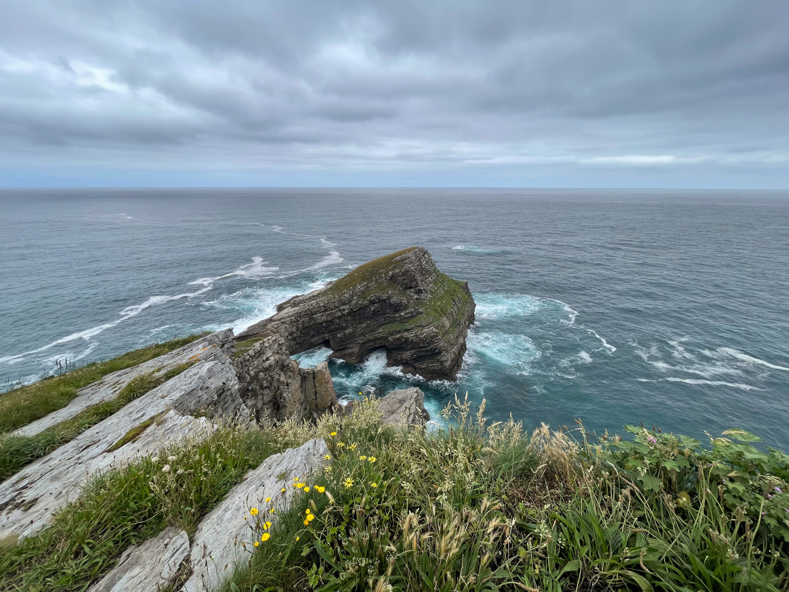
Cape Vidio (Cabu Vidíu). At the northern tip of the municipality, the lighthouse stands atop cliffs nearly a hundred meters high above the Cantabrian Sea. The walks along the coastal rasa offer some of the most spectacular views of the Asturian coast. Most of its coastline is protected as the Paisaje Protegido de la Costa Occidental (Protected Landscape of the Western Coast).
La Quinta de Selgas. In El Pito stands this 19th-century palace surrounded by historic gardens, now a museum holding works by Goya —such as «Aníbal vencedor»—, El Greco, Luis de Morales, Luca Giordano, Corrado Giaquinto and Vicente Carducho. It receives around 24,000 visitors a year and is one of the most important private art collections in Spain.
The church of Santa María de Soto de Luiña. Declared a Monumento Histórico Artístico (Historic-Artistic Monument), it is the jewel of the religious heritage of a municipality organized into nine parishes. In the village, the Gothic church of San Pedro and the Humilladero chapel —considered the oldest building in the municipality— also stand out.
Playa del Silencio (Silence Beach). This pebble cove, tucked between cliffs in the west of the municipality, is one of the most photographed coastal spots in Asturias. Its name evokes the calm felt among its rocks, far from the bustle of urban beaches.
The Las Dueñas peat bog. Declared a natural monument, this wetland on the coastal rasa is of great ecological and scenic value. It is a fine example of the natural areas scattered across a municipality marked by the contrast between sea and mountains.
Camino de Santiago: the Camino del Norte — a UNESCO World Heritage site — crosses Cudillero through El Pito and Soto de Luiña.
Getting there
The N-632 national road crosses the municipality and connects it with the rest of Asturias; Cudillero lies 56 kilometers from Oviedo. The municipality borders Valdés, Salas, Pravia and Muros de Nalón. It also has stations and halts on the Ferrol–Gijón railway line, with commuter services between Gijón and Cudillero.
Municipality map: data © OpenStreetMap (ODbL). Own rendering, no Google, no cookies.
Festivals and gastronomy
The main festivities are held in honor of San Pedro (29 June), San Pablo (30 June) and San Pablín (1 July), declared of Regional Tourist Interest. The most unique event is L’Amuravela: a sailor boards a boat in La Ribera, in the harbor, to recite the traditional lay sermon in the pixueto dialect, ironically reviewing the year’s events while addressing the patron saint, San Pedro. On San Pablín’s day a maritime procession takes place, and in recent years another has been organized in honor of the Virgen del Carmen, patron saint of sailors.
Municipality data
- Capital: Cudillero
- Population: 4,867 inhabitants (INE 2025)
- Area: 100.78 km²
- Zone: West
- Demonym: cudillerense (colloquially, pixueto, -a)
- Town Council phone: 985 59 00 03
- Address: Plaza de San Pedro — 33150 Cudillero
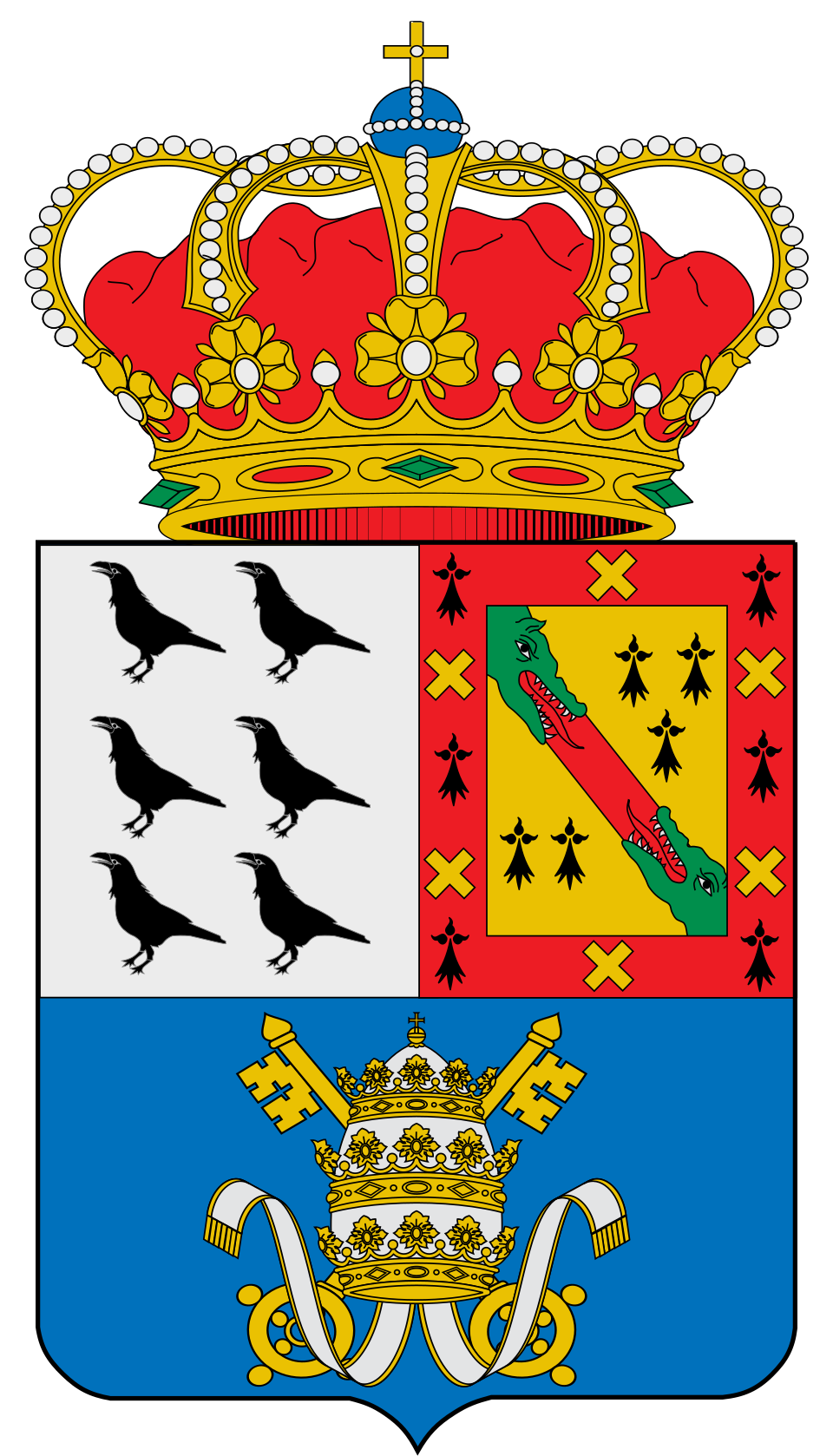
Coat of arms: Wikimedia Commons / SanchoPanzaXXI (CC BY-SA 4.0)
Neighbouring municipalities
Useful links
Want to correct or expand this information? Contact us.
See on the interactive map: The 78 municipalities of Asturias