Salas, Asturias: municipality guide
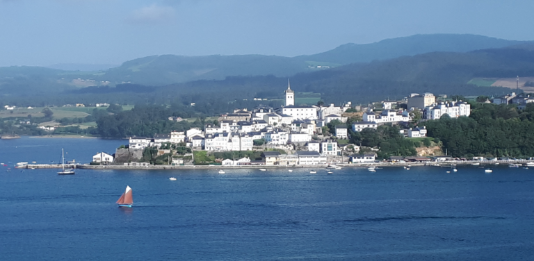
Salas is a municipality in west-central Asturias, known as «the Gateway to the West» of Asturias. Its capital is the town of Salas. With 4,771 inhabitants, 227.10 km² and 28 parishes, it is a land of river valleys —Narcea, Nonaya and Esva— where the Primitive Way of Saint James has left a deep mark.
What to see in Salas
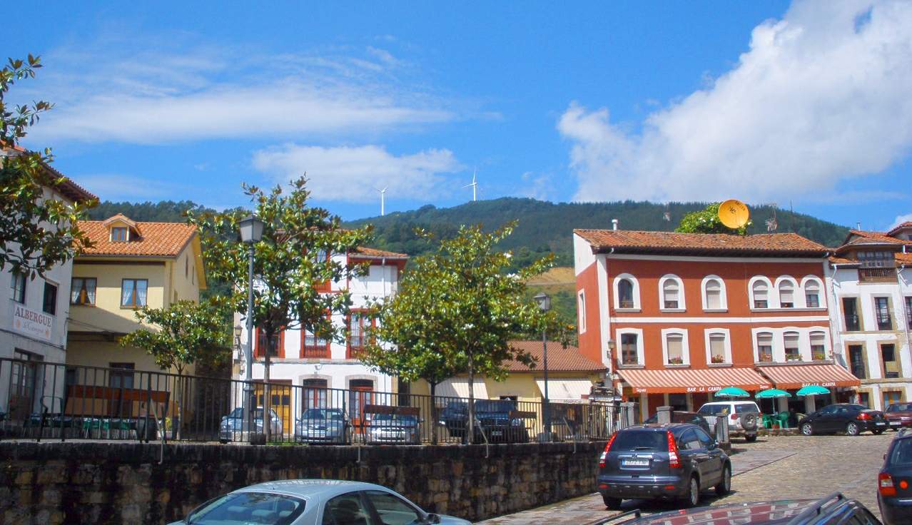
The town of Salas is one of the best-preserved medieval towns in Asturias. Its monumental ensemble is presided over by the Collegiate Church of Santa María la Mayor (16th century), which houses the mausoleum of Fernando de Valdés Salas, Inquisitor General and founder of the University of Oviedo. Next to it, the medieval Tower of the 14th century holds the Pre-Romanesque Museum of San Martín, with valuable 10th-century epigraphic tombstones, and the Palacio de Valdés Salas (16th century) completes one of the region’s most valuable historic ensembles.
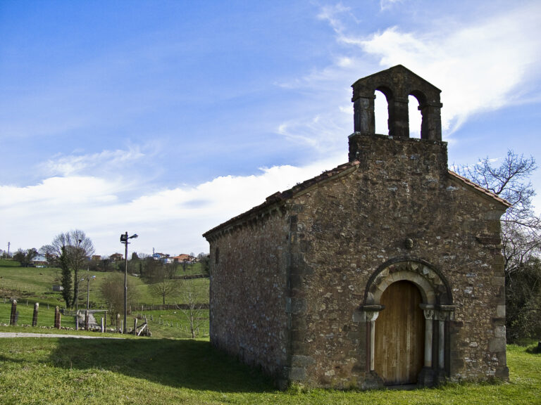
In Cornellana, salmon capital and strategic point of the Way, stands the Cistercian monastery of San Salvador (11th century), a National Historic-Artistic Monument linked to the Order of Cluny. The church of San Esteban de Las Dorigas preserves interesting Romanesque paintings, and villages such as Malleza —«little Havana»— or Mallecina display an extraordinarily well-preserved ensemble of Indiano architecture.
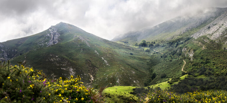
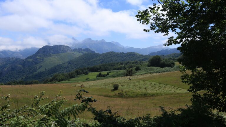
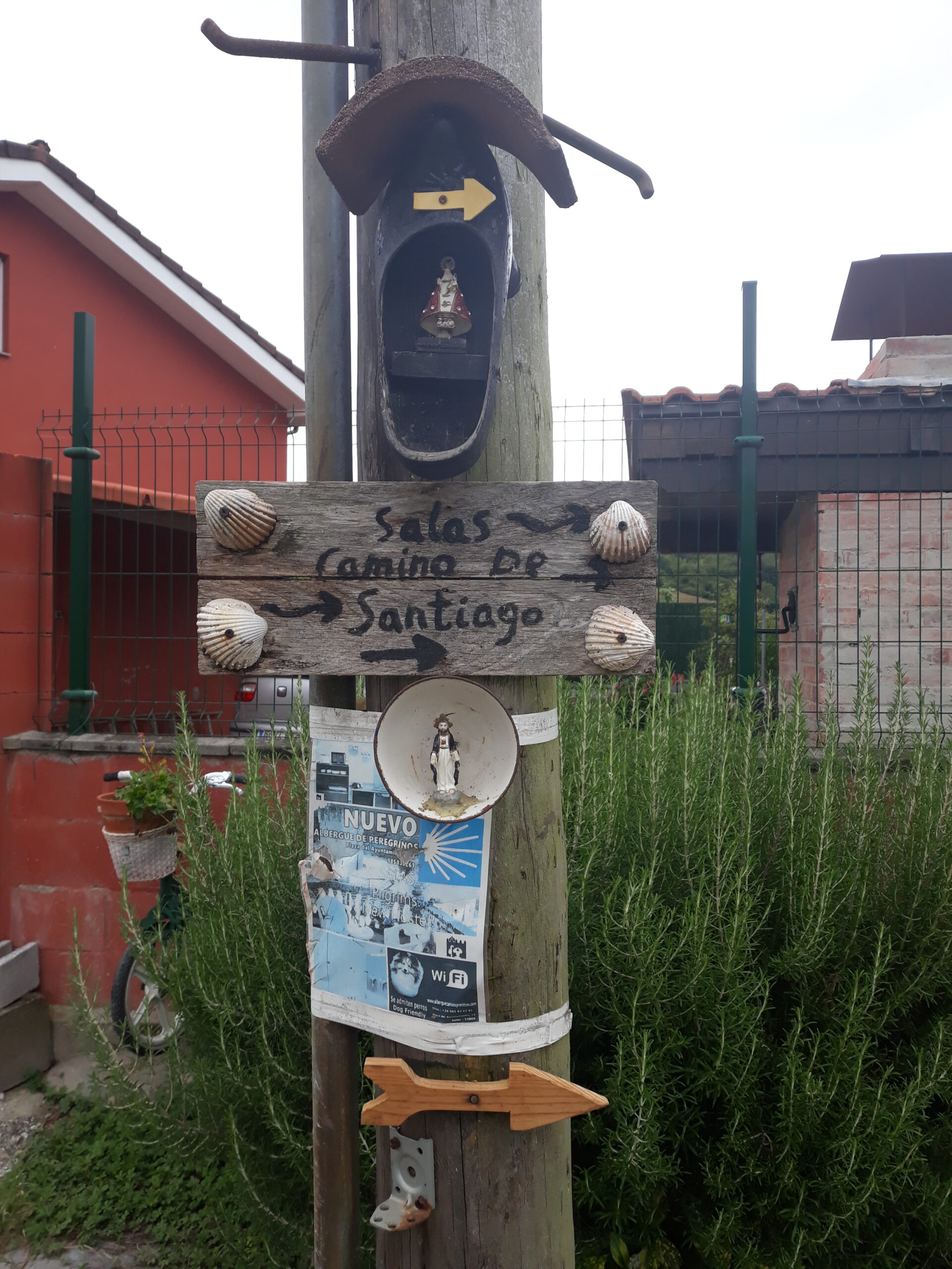
The municipality is also a land of vaqueira brañas —Cerezal, Gallinero, Las Gallinas, El Pevidal—, of chestnut and oak forests and of salmon rivers such as the Narcea and the Esva. La Espina, at the top of the pass, was for centuries a strategic crossroads towards Tineo, Cangas del Narcea and the Valdés coast. Salas is also a stage of the Primitive Way of Saint James, a UNESCO World Heritage site: the Way enters the municipality from Grado and continues towards Tineo.
The rivers Narcea, Nonaya and Esva shape a landscape of fertile plains where subsistence farming is still alive, and their banks offer peaceful walks among riverside woods. The suspension bridge over the Narcea and the old mills recall a past in which the river was also a route of communication and a source of energy.
Getting there
Salas is well connected by the N-634 national road and the A-63 motorway, which link Oviedo with La Espina and western Asturias. Cornellana lies in the Narcea plain, at its confluence with the Nonaya, and from La Espina the road forks towards Tineo or towards the Valdés coast down the Esva valley.
Map of the municipality of Salas: the capital, in gold. Data © OpenStreetMap (ODbL).
Festivals and gastronomy
On the table stand out the famous «Carajitos del Profesor» sweets, afuega’l pitu cheese, market-garden produce and salmon from the Narcea and the Esva. The weekly Tuesday market is a fixed date in the town.
Municipality data
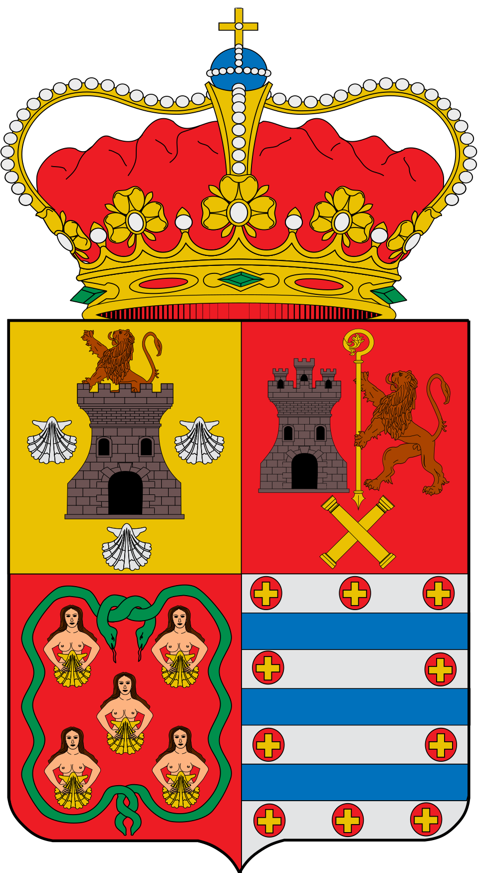
Coat of arms: Wikimedia Commons / SanchoPanzaXXI (CC BY-SA 4.0)
- Capital: Salas
- Population: 4,771 inhabitants (INE 2025)
- Area: 227.10 km²
- Zone: Central
- Demonym: salense
- Town Council: Plaza del Ayuntamiento, 2, 33860 Salas. Tel. +34 985 83 00 04
Neighbouring municipalities
Useful links
Want to correct or expand this information? Contact us.
View on the interactive map: The 78 municipalities of Asturias