Las Regueras, Asturias: municipality guide
Las Regueras is a municipality in central Asturias, whose name refers to the abundance of streams, brooks and small water channels that water its entire territory. Its capital is Santullano. With 1,892 inhabitants and 65.85 km², it is a rural municipality where dairy cattle farming remains the main economic activity.
Things to see in Las Regueras
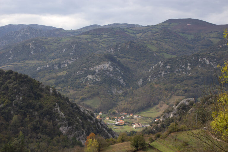
The landscape is gentle, made up of hills and low peaks; the highest elevations, around 600 metres, are found in the Sierra del Cogollo and in the Burafán, Pedroso and del Peral ranges, in the western third of the municipality. The river Nalón marks the southern boundary and receives most of the streams that water the area; the Nora flows along the east, separating it from Oviedo, while the Soto and the Andallón, tributaries of the Nalón, complete a varied river network that explains the municipality’s name. The climate is humid, with mild temperatures and frequent mists along the Nalón.
Las Regueras is divided into six parishes: Biedes, Santullano, Soto, Trasmonte, Valduno and Valsera. The most populated settlements are Escamplero and Santullano, the capital.
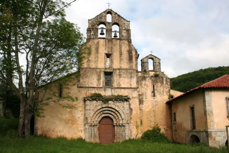
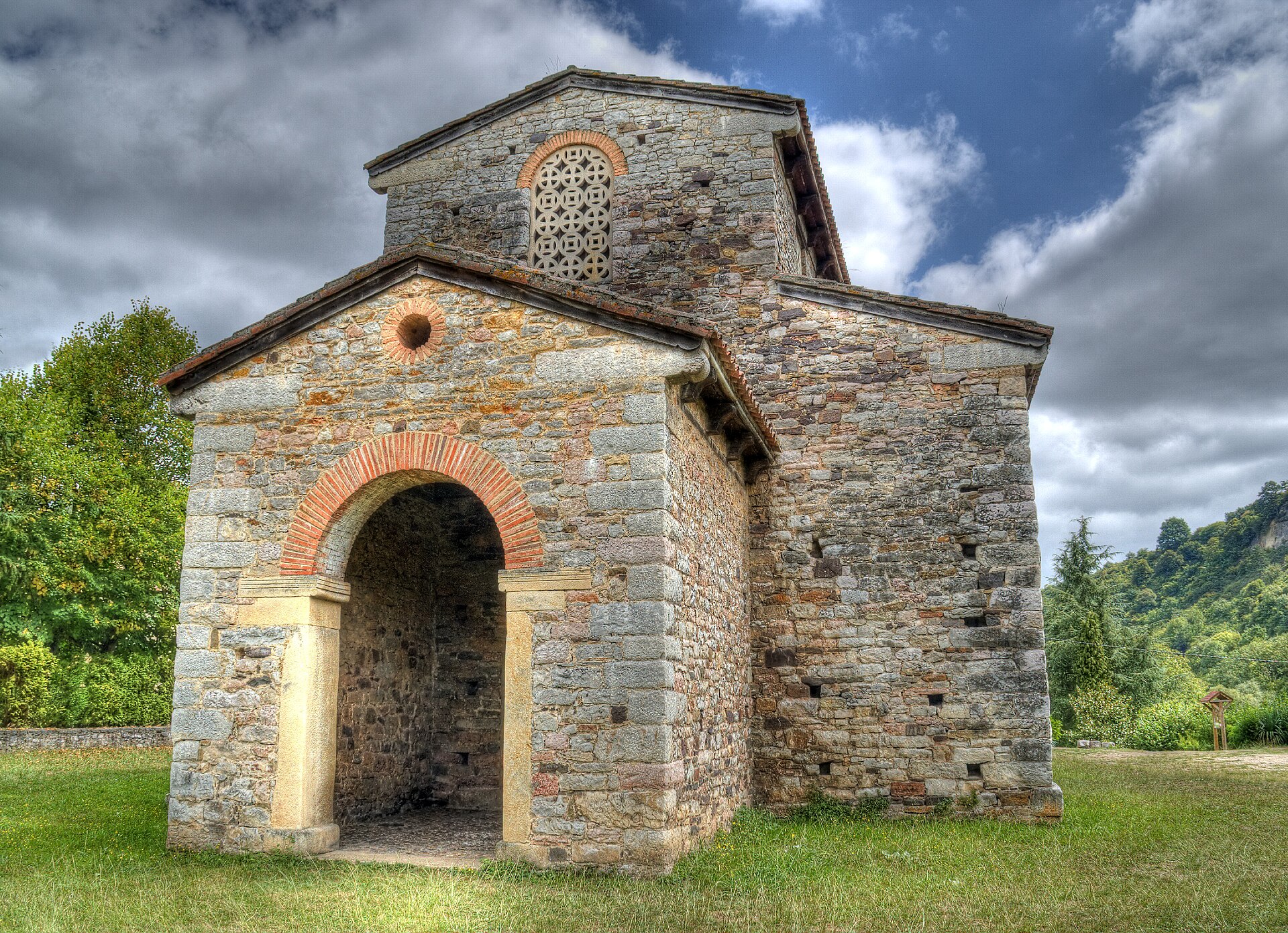
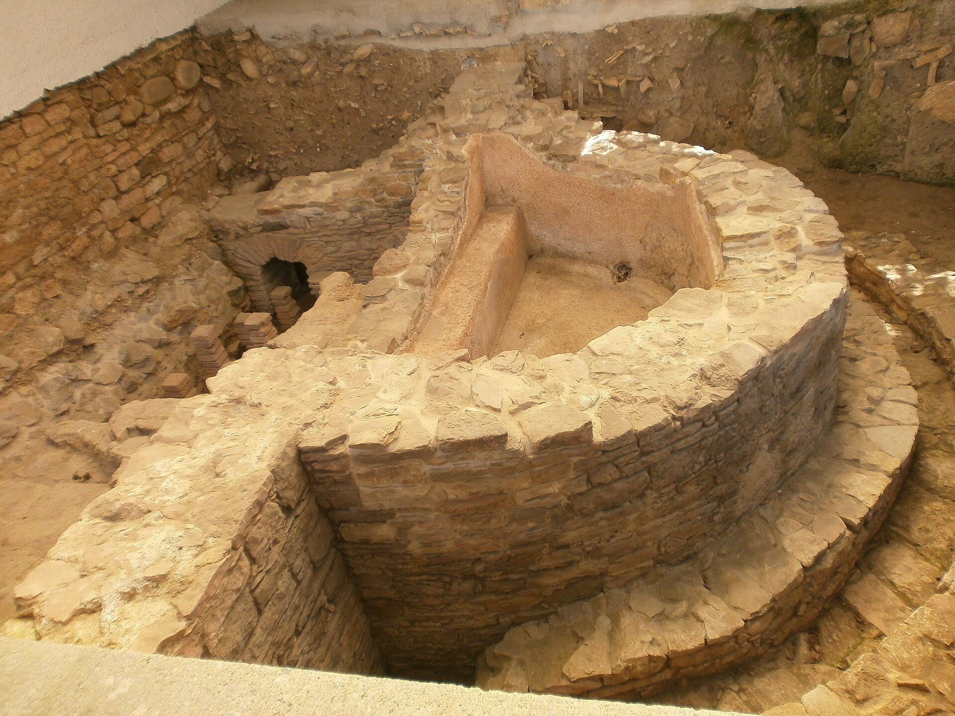
The artistic jewel of the municipality is the pre-Romanesque church of San Pedro de Nora (9th century, attributed to the time of Alfonso II), next to which stand the Roman baths of Valduno, among the best preserved in rural Asturias. Also worth a visit are the church of Santa Eulalia de Valduno, the hermitage of Santa Ana in Premoño —a remnant of the old pilgrims’ hospital—, the stately complex of Bolgues with its palace from the 16th to 19th centuries, the palace of Viado in Santullano, the Casona de Ardaje and the Casona de la Caballera, as well as the mills on the Soto and Andallón rivers and the typical hórreos (raised granaries), some richly decorated.
The history of the area goes back to prehistory: hillforts such as Los Vallaos, El Castrillón de Areces or Pico Ruedes, and the Roman road that ran from Astorga to Lugo de Llanera, which was of great importance for communications with western Asturias. In 1421 Bishop Diego granted Las Regueras its town charter (Carta Puebla), the last one granted in the region, and in 1587, with Philip II’s disentailment of church property, it became an independent municipality.
Camino de Santiago: the Primitive Way crosses the municipality. The first stage (Oviedo–Grado, about 25.6 km) enters Las Regueras crossing the Gallegos bridge over the river Nora and passes through Escamplero, where there was a pilgrims’ hospital, Valsera, Premoño —with the chapel of Santa Ana, a remnant of the old hospital— and Puerma before leaving towards Grado.
How to get there
The AS-372 road crosses the municipality from east to west and is its main route; the AS-371 arrives from Oviedo and the AS-233 from Avilés. Las Regueras also has a railway line between Oviedo and San Pedro de Nora.
Festivals and gastronomy
Its festivals include the Fiesta del Bollo, on the last weekend of June in Bolgues; San Juan, on 24 June in Trasmonte; El Carmen, on 16 July in Escamplero; La Sacramental, celebrated on the first Sunday of August in Valduno, the second in Santullano and the third in Soto; the traditional pilgrimage of the Espíritu Santo, on the first Sunday of October in Parades; and the Certamen de la Castaña Valduna (Valduna Chestnut Fair), in November. The valduna chestnut is the typical product of the municipality, and the table is never short of classic Asturian dishes such as fabada or cheeses.
Municipality facts
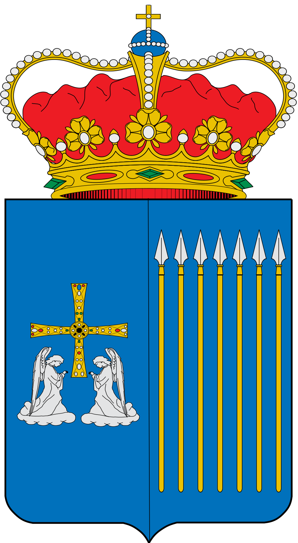
Coat of arms: SanchoPanzaXXI (CC BY-SA 4.0)
- Capital: Santullano
- Population: 1,892 inhabitants (INE 2025)
- Area: 65.85 km²
- Zone: Central
- Demonym: escobero, -a
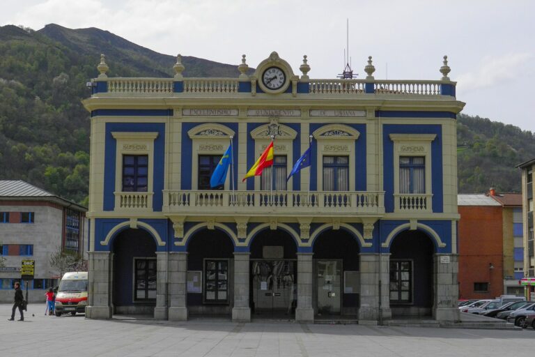
- Town Hall: Santullano, 1, 33190 Las Regueras. Tel. +34 985 79 90 45
Neighbouring municipalities
Useful links
Want to correct or expand this information? Contact us.
See it on the interactive map: The 78 municipalities of Asturias