Illas, Asturias: municipality guide
Illas is a municipality in central Asturias, in the Avilés comarca. It borders Castrillón, Corvera, Las Regueras, Llanera and Candamo. Its capital is Callezuela. With 1,048 inhabitants and 25.51 km², it is one of the smallest municipalities in the Principality, a rural territory that has managed to stay clear of the urban growth around it and is known as the lung of Asturias.
Things to see in Illas
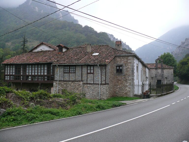
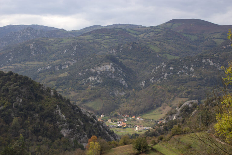
The topography is very rugged, with steep slopes and little flat land: low, wooded hills predominate. The highest elevation is Pico Friera or Bufarán, at 623 metres; the rest of the territory lies between 200 and 400 metres. The municipality is organised into 3 parishes —Illas, La Peral and Villa— and the population is spread across La Peral, Callezuela, Sanzadornín, Viescas and Piniella.
Illas is cheese country: La Peral, one of the most famous cheeses in Asturias, and Pico Gorfolí carry the municipality’s name across Spain. Cattle farming, for meat and above all milk production, underpins a farming economy that has stayed true to its rural character even as neighbouring Ensidesa transformed the comarca in the 1950s.
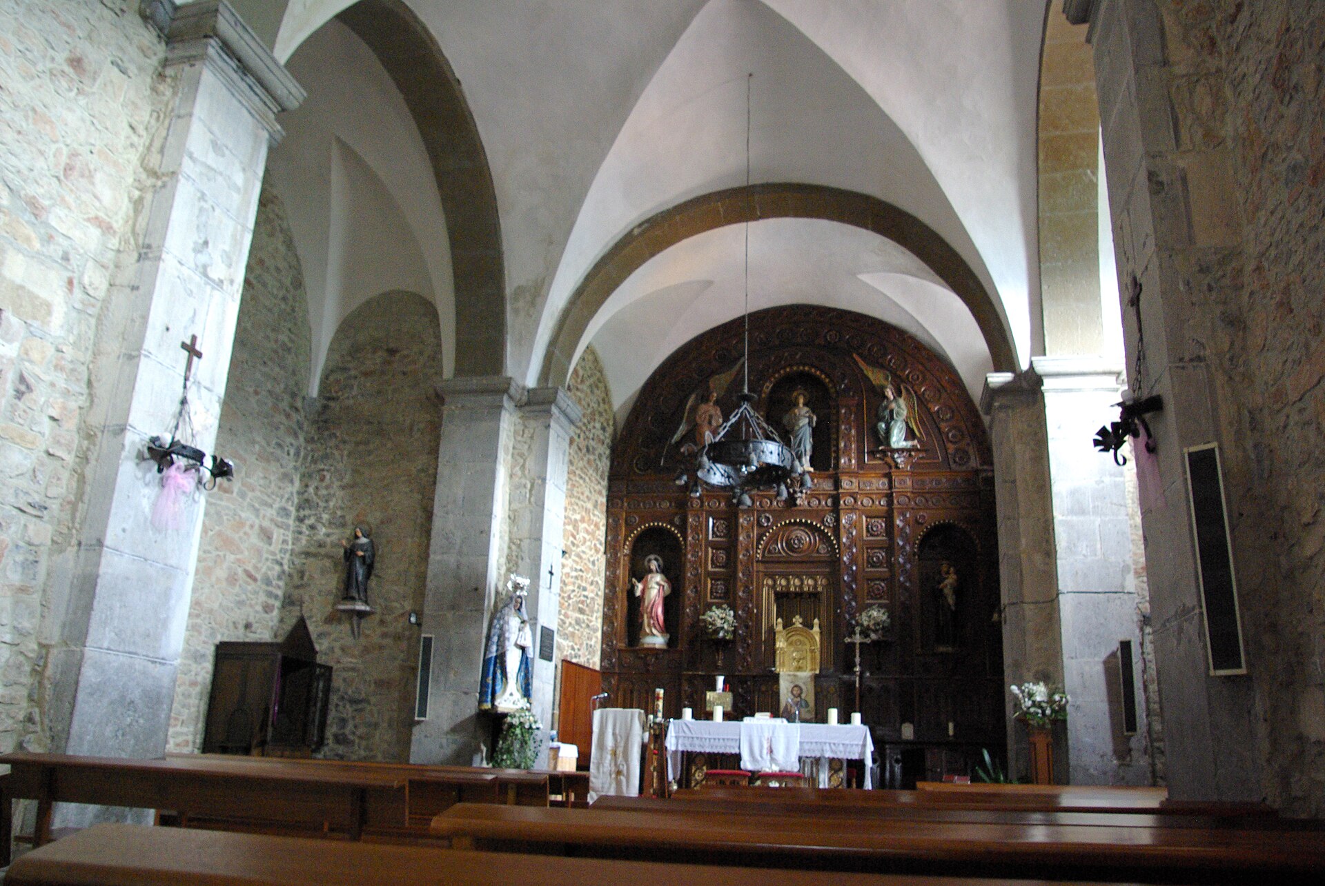
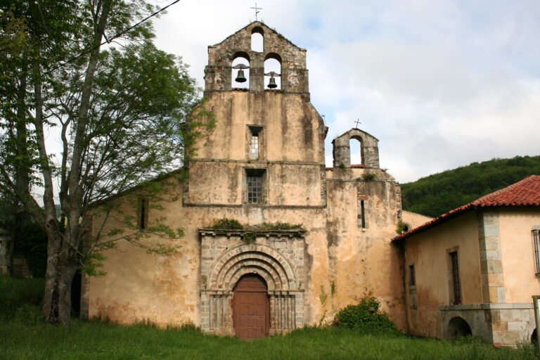
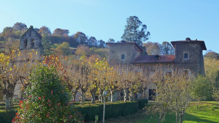
Heritage is concentrated in the capital: the church of San Julián, with a Latin cross plan and square tower at its feet, keeps two tombs in the transept arms, one Gothic from the 14th century with thirteen pointed arches; and the Bárcena palace, a complex of tower, chapel and dwelling enclosed by a stone wall. Older still are the La Reigada and El Cerru de la Peña burial mound necropolises, and the first written reference to the territory appears in the will of Ordoño I, in the year 857.
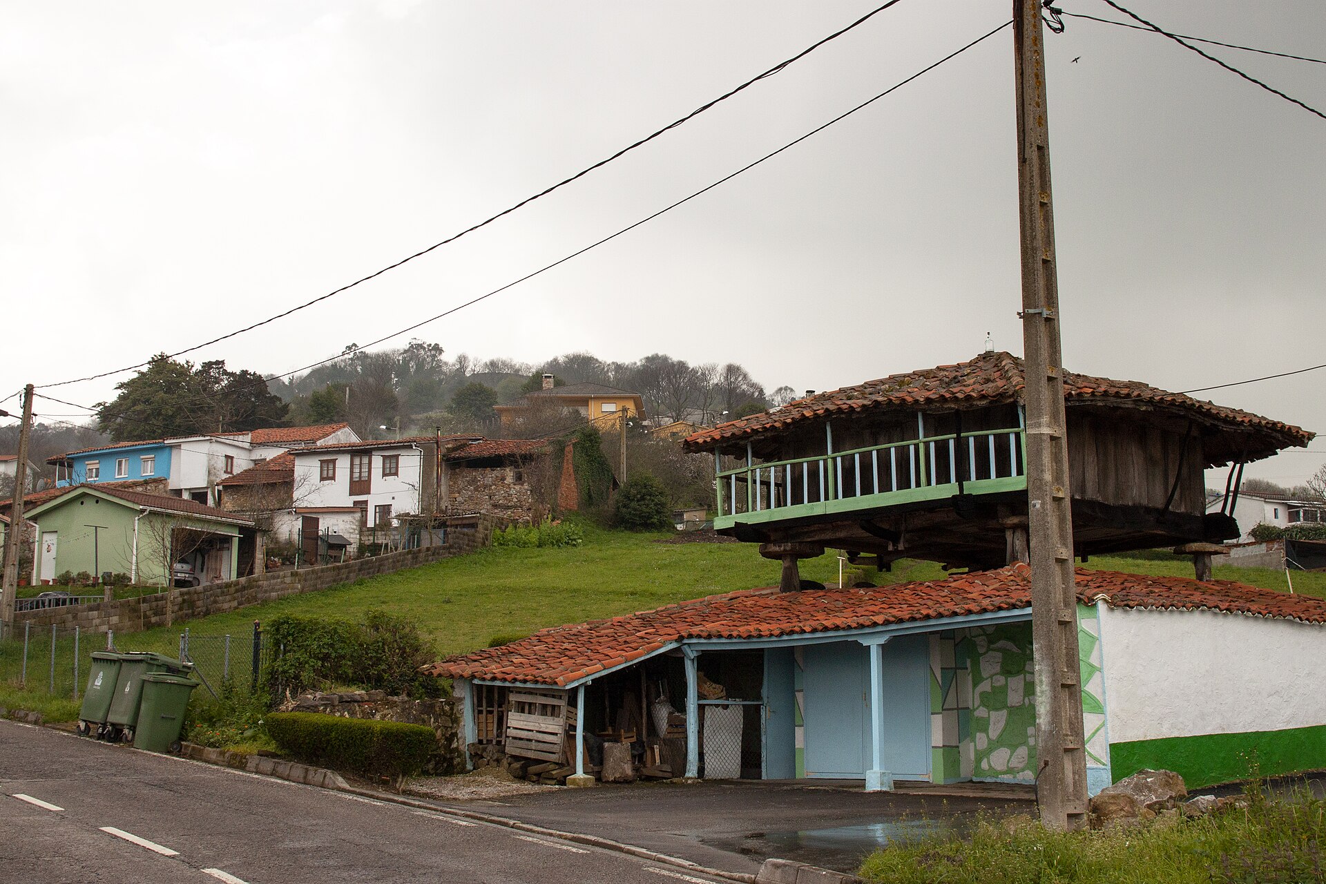
For visitors, Illas offers the Ruta de los Molinos, the Senda Verde del Pico Gorfolí and the first river swimming pool in Asturias, at Sollovio on the River Faxeras. In the 21st century the municipality has become established as a place to live for those seeking rural tranquillity with the services of Avilés close at hand.
How to get there
The AS-237, which links Avilés with Candamo, crosses the municipality from north to south and structures it along its entire route. Through it you reach the Cantábrico motorway, towards Gijón, Asturias airport or Galicia.
Festivals and gastronomy
Festivals are spread across the settlements: in Callezuela, San Julián (7 January), San Antonio de Padua (the Sunday after 13 June) and La Sacramental (first Sunday of July); in La Peral, Las Candelas (2 February), when the village anthem is sung, and San Jorge (first Sunday of August); in Calavero, the Asturian folk festival of Cristo del Socorro (first weekend of September); and in Sanzadornín, Los Remedios (the Sunday before 8 September). Gastronomy revolves around the municipality’s cheeses and traditional Asturian cooking.
Municipality facts
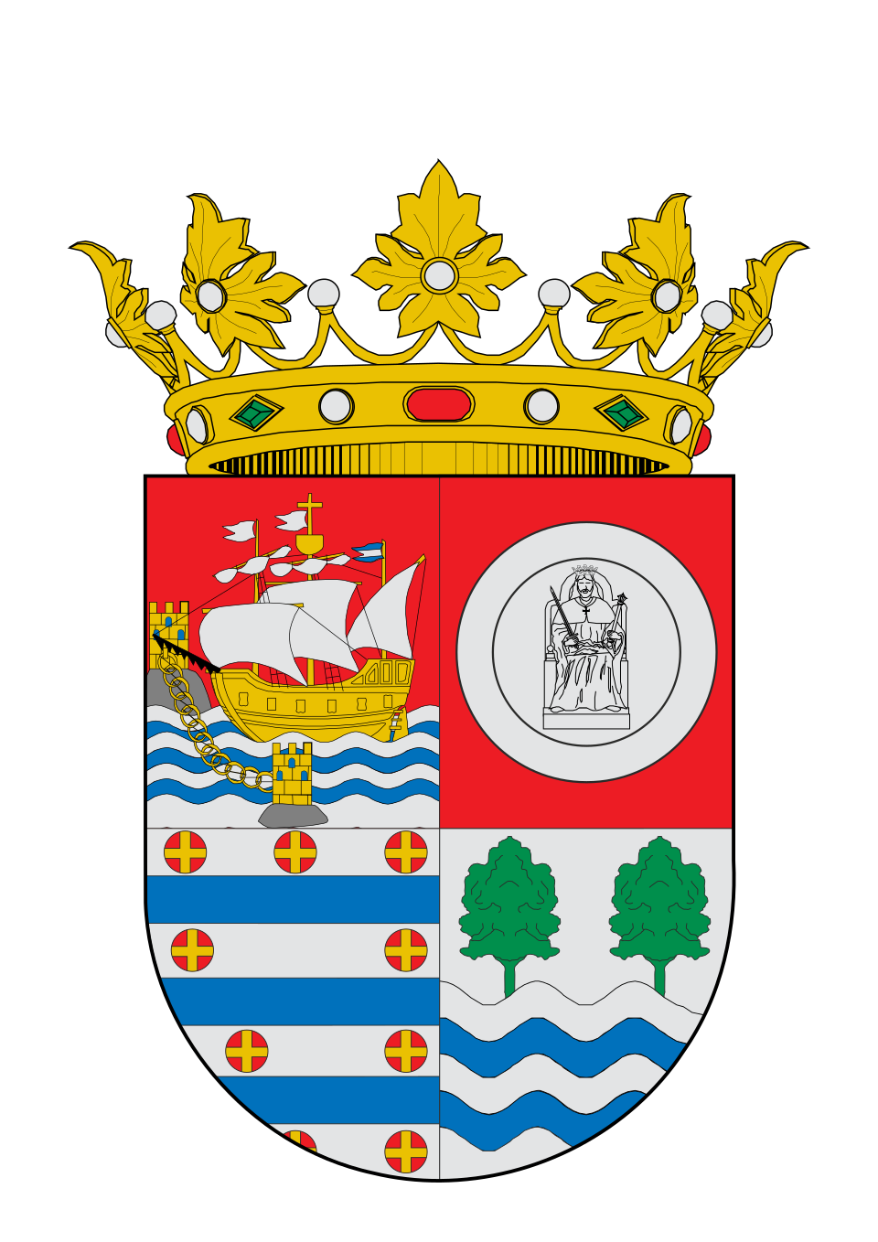
Coat of arms: Wikimedia Commons / Abraham Vázquez (CC0)
- Capital: Callezuela
- Population: 1,048 inhabitants (INE 2025)
- Area: 25.51 km²
- Zone: Central
- Town hall: Callezuela, 1, 33411 Illas. Tel. +34 985 50 61 50
Neighbouring municipalities
Useful links
Want to correct or expand this information? Contact us.
See on the interactive map: The 78 municipalities of Asturias