Degaña, Asturias: municipality guide
Degaña is a municipality in southwestern Asturias, in the high Narcea mountains. Its capital is the town of Degaña; it has 768 inhabitants (INE 2025) and covers 87.16 km².
What to see in Degaña
The Fuentes del Narcea, Degaña and Ibias Natural Park. The municipality is part of this large protected area, a high-mountain territory of beech, oak and holly woods inhabited by brown bears, roe deer and wild boar. It is one of the wildest corners of Asturias, perfect for hiking and nature watching.
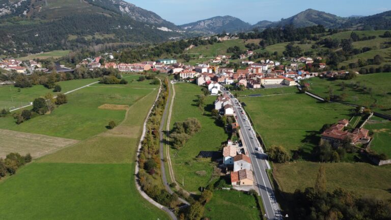
The Degaña valley from El Picón. From this viewpoint there are views over the Degaña valley, with Cerredo in the background, and the mountains closing the valley: a high-mountain landscape perfect for hiking and nature.
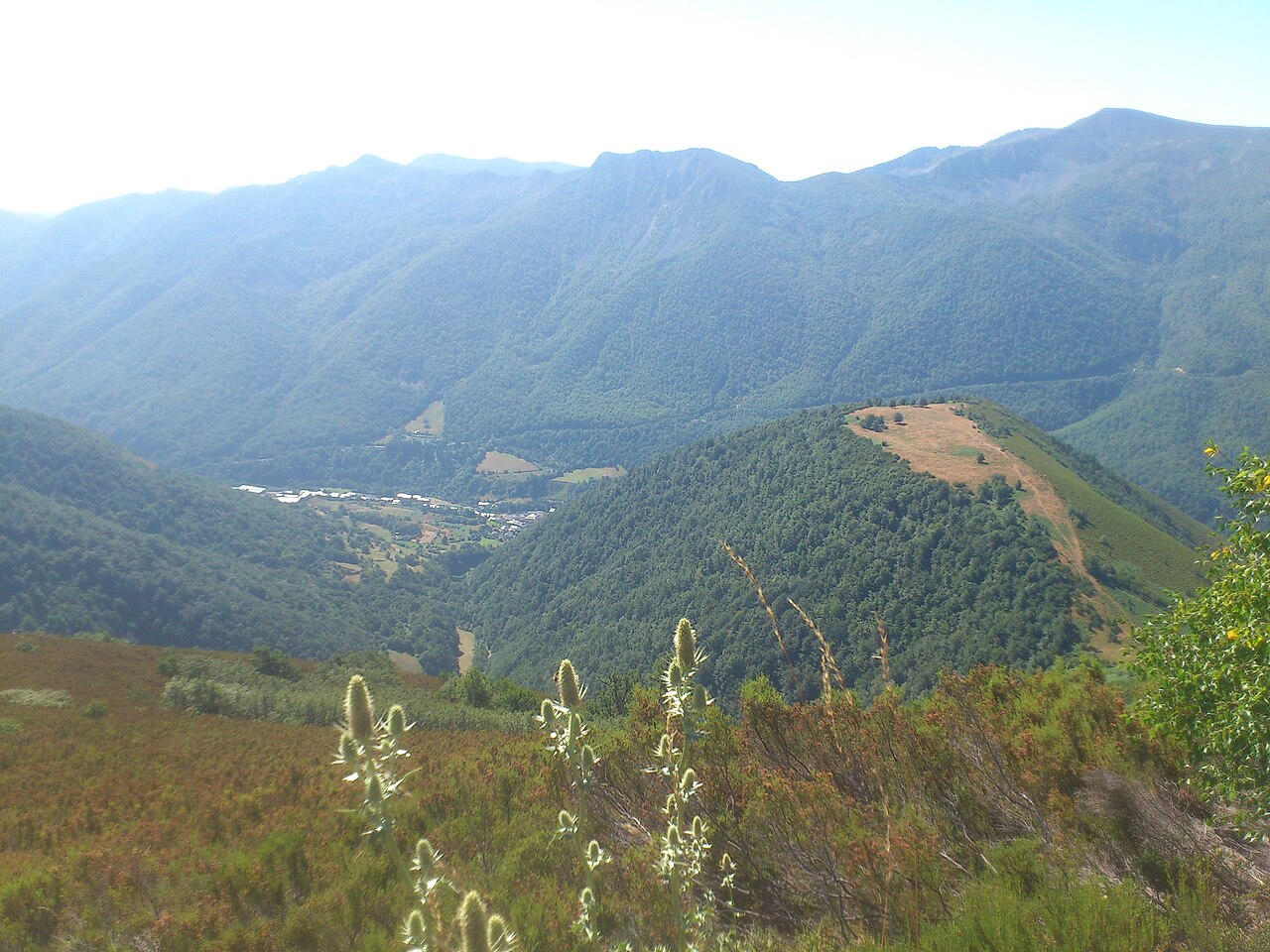
Photo: Wikimedia Commons / Cerredocristobal (CC BY-SA 3.0)
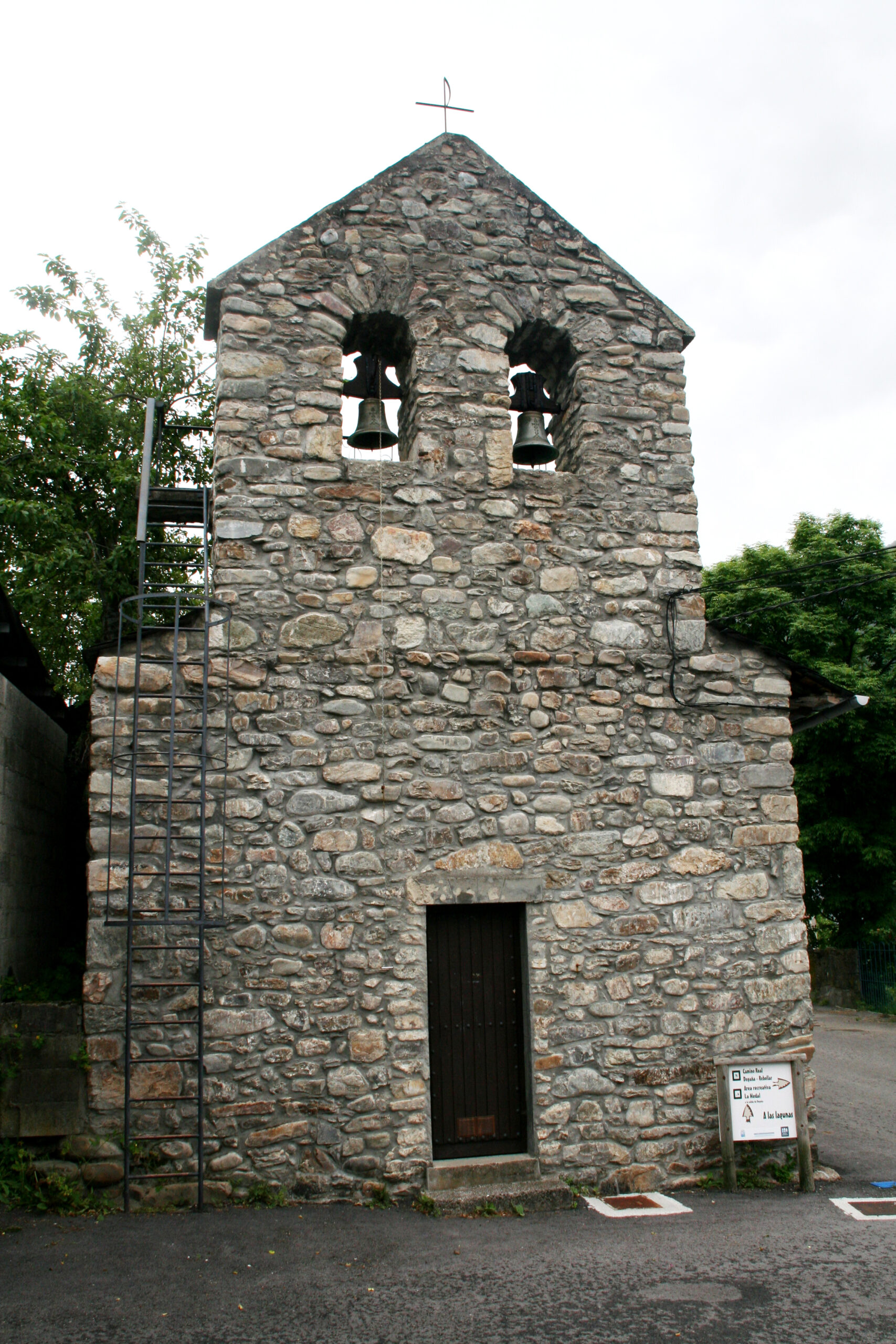
Cerredo, the most populated village. At 1,030 meters above sea level, Cerredo still shows traces of its mining past and is the gateway to the pass leading to the province of León. It is home to the parish church of Santa María, declared a cultural heritage asset.
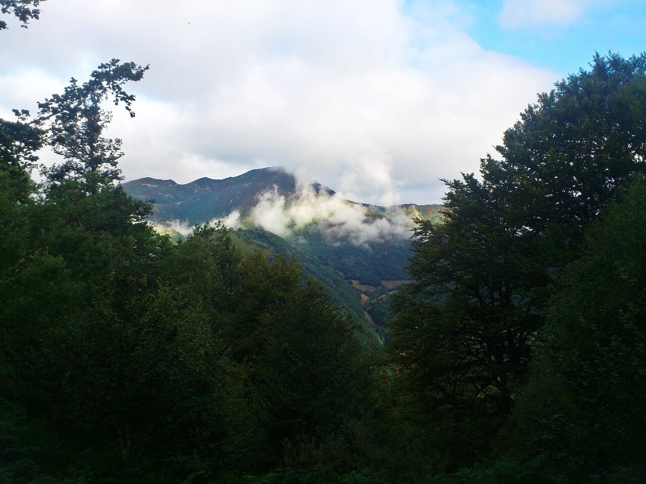
Photo: Wikimedia Commons / Cerredocristobal (CC BY-SA 3.0)
The church of Santa María de Cerredo. Declared a cultural heritage asset (Bien de Interés Cultural), it has a single nave with a square apse and an attached chapel and sacristy. Its trough-shaped roof (artesa de par y nudillo) is very rare in Asturian architecture.
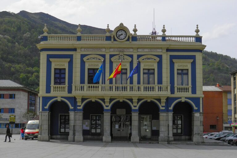
The town of Degaña. The municipal capital lies 852 meters above sea level, making it the highest municipal capital in Asturias. It is the administrative center of a municipality organized into three parishes: Cerredo (Zarréu), Degaña and Tablado (Trabáu).
The Cerredo pass. This mountain pass connects the municipality eastward with the province of León —specifically Villablino—, with which there has historically been great exchange. Its high-mountain landscapes, among peaks such as La Gubia del Portillón (1,934 m), are spectacular.
Getting there
The main road is the AS-15, which from the Cerredo pass crosses the whole municipality and, through the Rañadoiro tunnel —opened in 2010—, connects with the center of the region. The AS-212 links Degaña with Ibias via Cecos, and the AS-270 connects Cerredo with Valdeprado, in El Bierzo (León).
Municipality map: data © OpenStreetMap (ODbL). Own rendering, no Google, no cookies.
Festivals and gastronomy
The patron saint festivities are spread across the three parishes: Santiago in Degaña (25 July), San Luis in Tablado (19 August), El Salvador in Fondos de Vega (6 August), San Roque in Cerredo (16 August), Fátima in Degaña (6 September), Covadonga in Cerredo (8 September) and San Francisco de Asís in Rebollar (4 October). Gastronomically, Degaña is one of the Asturian municipalities authorized in the Cangas PDO (DOP Vino de Cangas), although no winery from the municipality is currently registered with the designation.
Municipality data
- Capital: Degaña
- Population: 768 inhabitants (INE 2025)
- Area: 87.16 km²
- Zone: West
- Demonym: degañés, -a
- Town Council phone: 985 81 87 34
- Address: Carretera General, s/n — 33812 Degaña
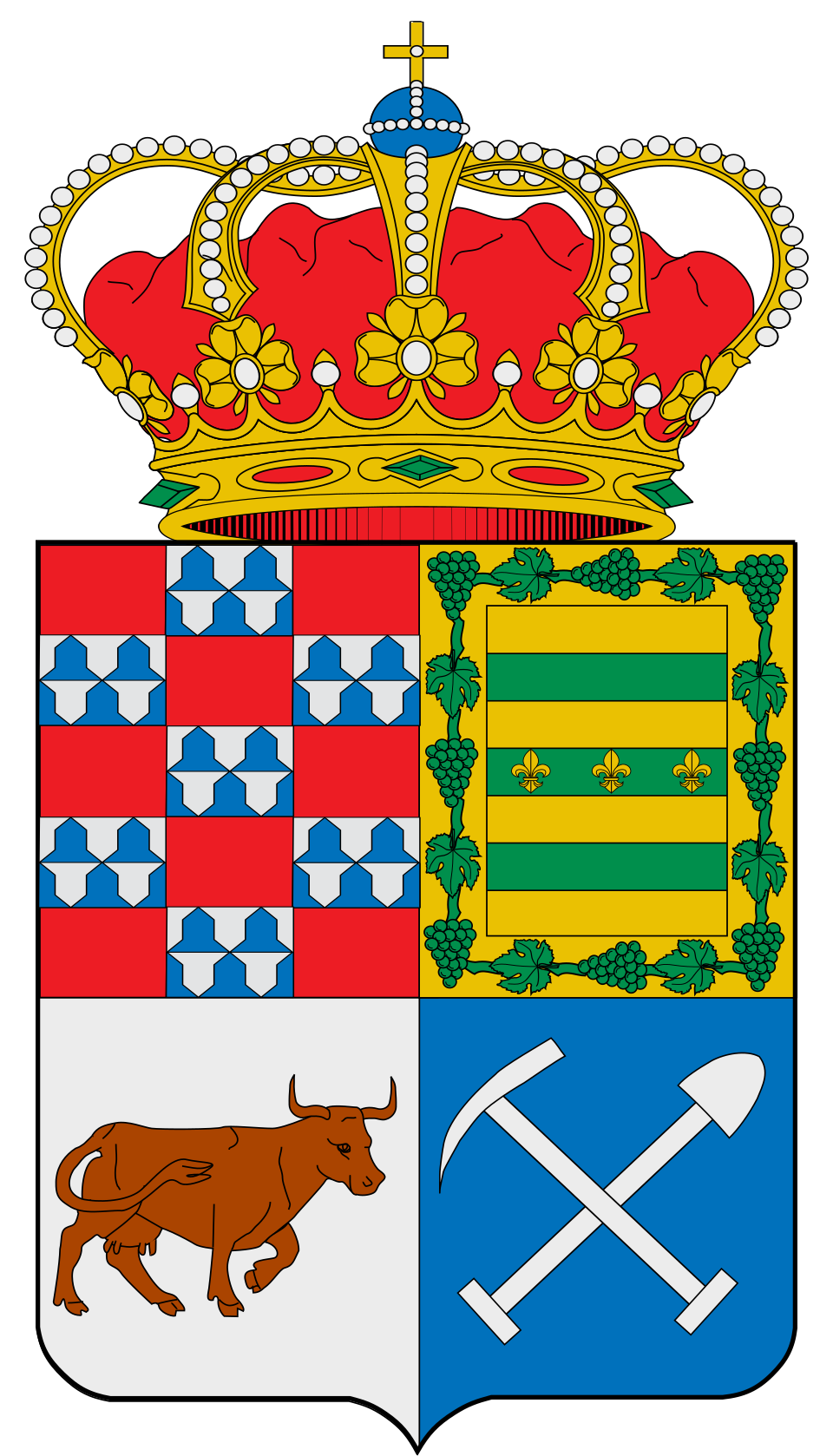
Coat of arms: Wikimedia Commons / SanchoPanzaXXI (CC BY-SA 4.0)
Neighbouring municipalities
- Cangas del Narcea
- Ibias
- Páramo del Sil (León, Castile and León)
- Palacios del Sil (León, Castile and León)
- Peranzanes (León, Castile and León)
- Villablino (León, Castile and León)
Useful links
Want to correct or expand this information? Contact us.
See on the interactive map: The 78 municipalities of Asturias