Amieva, Asturias: municipality guide
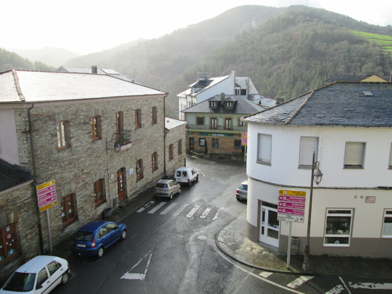
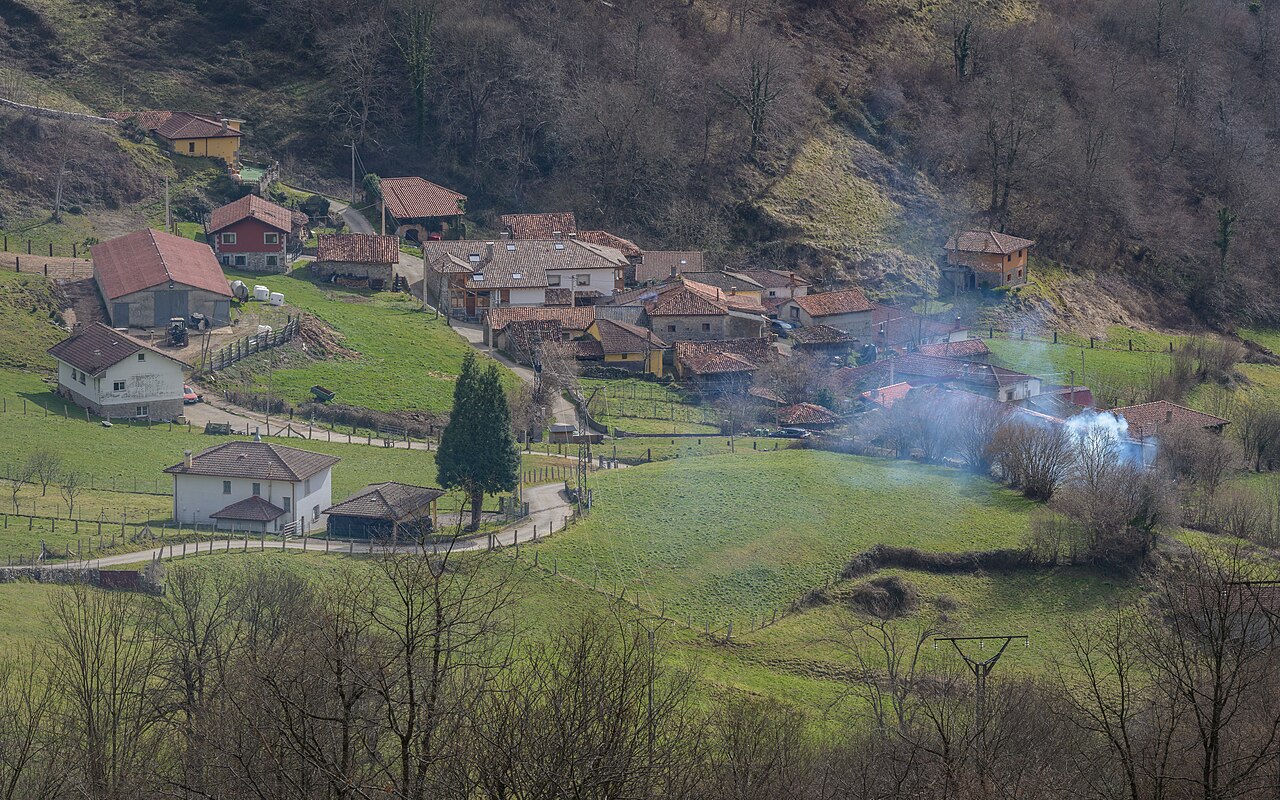
Amieva is a municipality in eastern Asturias, in the Oriente Asturiano area, crossed by the Sella river. Its capital is Sames. With 591 inhabitants, it combines the fertile valleys of the Sella and Ponga rivers with the gorges of the Dobra and the foothills of the Western Massif of the Picos de Europa.
What to see in Amieva
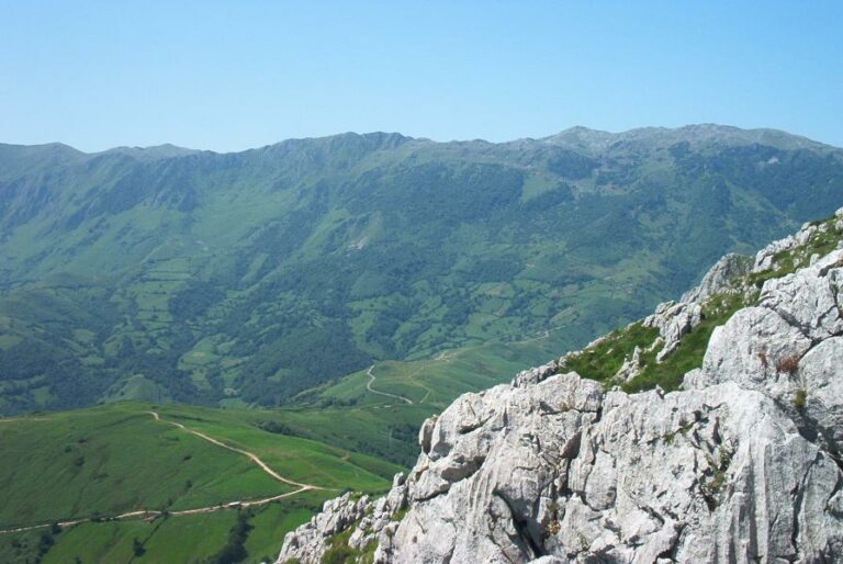
The views of the Amieva valley from the La Collada viewpoint, one of the most beautiful panoramas in eastern Asturias, with the mosaic of meadows, woodlands and villages of the valley at your feet.
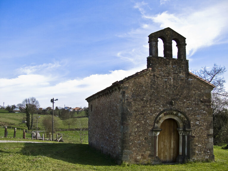
The village of Vis, with its Santiago chapel from the 16th-17th centuries, of modest dimensions but with a graceful portico supported by small stone columns on the rubble wall.
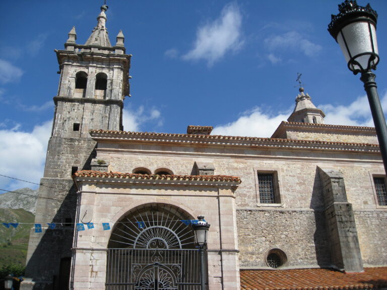
The church of Santa María de Mián, the oldest building in the municipality. Only its perimeter survives from its first pre-Romanesque phase —a single-nave building with a square chevet— and it was later rebuilt as a Romanesque temple.
The church of San Pedro de Vega, with a rectangular plan, single nave and square chevet. The main portal opens on the western façade, formed by a semicircular arch, and it is crowned by a bulky ashlar bell gable with two openings; the four winged angelic heads on its corners stand out.
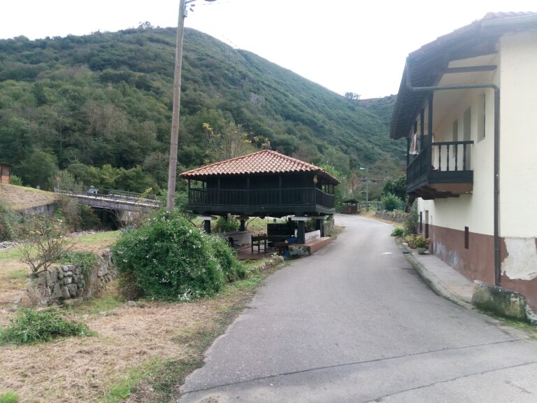
The Dobra river gorge, where the Dobra descends boxed in between woodlands. Its stone bridge was part of the old medieval route that linked the lands of Amieva with the Meseta, confirmed by the privileges Alfonso VII granted to the Pontón pass hospice.
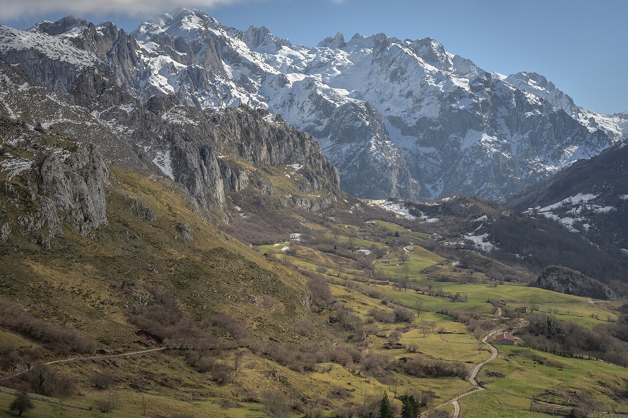
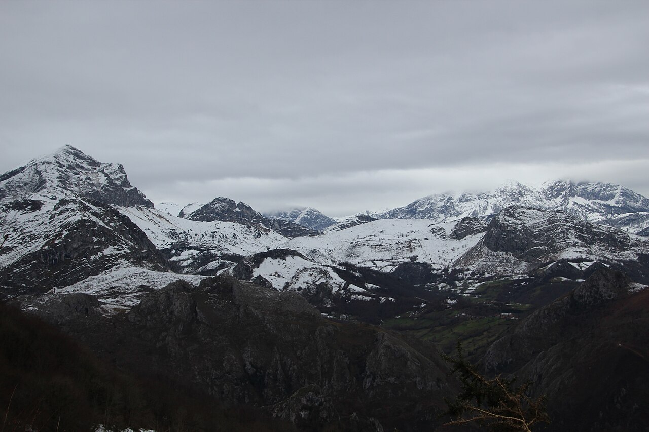
The Toneyu Network Natural Monument and the foothills of the Western Massif of the Picos de Europa, where the highest point of the municipality is located, Torre’l Mediu (2,467 metres), along with Pica Rezo (1,964 metres). Large native forests of ash, elm, chestnut and oak are preserved.
Getting there
The municipality is crossed from north to south by the N-625, linking Mansilla de las Mulas (León) with Arriondas and acting as its backbone, connecting its main towns with neighbouring municipalities. The road follows the Sella along the same corridor that, since the Middle Ages, linked the lands of Amieva with the Meseta via the Pontón pass.
Municipality map: data © OpenStreetMap (ODbL). Own rendering, no Google, no cookies.
Festivals and gastronomy
Notable festivals include the Commemoration of San Antonio de Sames (13 June), San Antonio in Argolibio (20 June), La Santina in Sames (first Saturday of July), El Carmen in Sames (16 July), Santa Marina in Cien (18 July), Santiago in Vis (25 July), San Antonio in Villaverde (last Saturday of July), San Román (9 August), Nuestra Señora in Vega de Pervis (second Saturday of August), San Roque in Pen (last Saturday of August) and Nuestra Señora in Amieva (8 September). On the gastronomic side, the municipality holds the Los Beyos Cheese Fair on the first Saturday of June, dedicated to this native cheese.
Municipality facts
- Capital: Sames
- Population: 591 inhabitants (INE 2025)
- Area: 113.90 km²
- Zone: East (Oriente Asturiano)
- Demonym: amievense
- Town Council phone: 985 94 46 76
- Address: Carretera General 625, Precendi s/n — 33558 Amieva
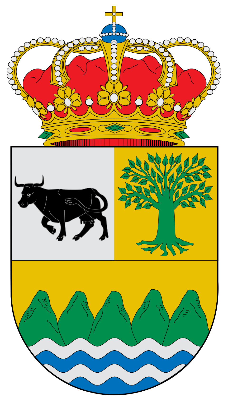
Coat of arms: Wikimedia Commons / SanchoPanzaXXI (CC BY-SA 4.0)
Neighbouring municipalities
- Parres
- Posada de Valdeón (León, Castile and León)
- Oseja de Sajambre (León, Castile and León)
- Cangas de Onís
- Ponga
Useful links
Want to correct or expand this information? Contact us.
See on the interactive map: The 78 municipalities of Asturias